Southern Italy Roman Empire Latium Rome Apulia 1806 Tanner hand color map
Brian DiMambro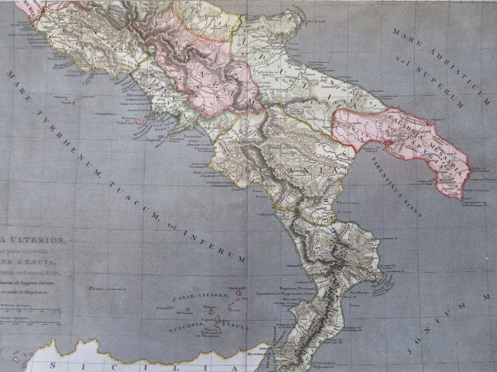
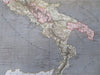
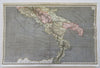
Italia Ulterior Cujus Pars Australis Magna Graecia.
(Old Maps, 19th Century Maps, Europe, Ancient World, Roman Empire, Greek Colonies, Latium, Rome, Naples, Apulia, Calabria).
Issued c. 1806, Philadelphia. Engraved by Tanner.
Early 19th century engraved map with attractive hand color.
Remains a nice looking example with a pleasing age patina. Any age flaws mostly minor and easy to overlook or forgive.
Original center fold as issued.
Sheet Measures c. 10 1/2" H x 16 3/4" W.
Engraved Area Measures c. 9 7/8" H x 15 3/4" W.
Cartographic Reference(s):
Tooley's Dictionary of Mapmakers, vol. 4.
[R34184].