United Provinces Holland Netherlands Amsterdam 1800 Thomas & Andrews scarce map
Brian DiMambro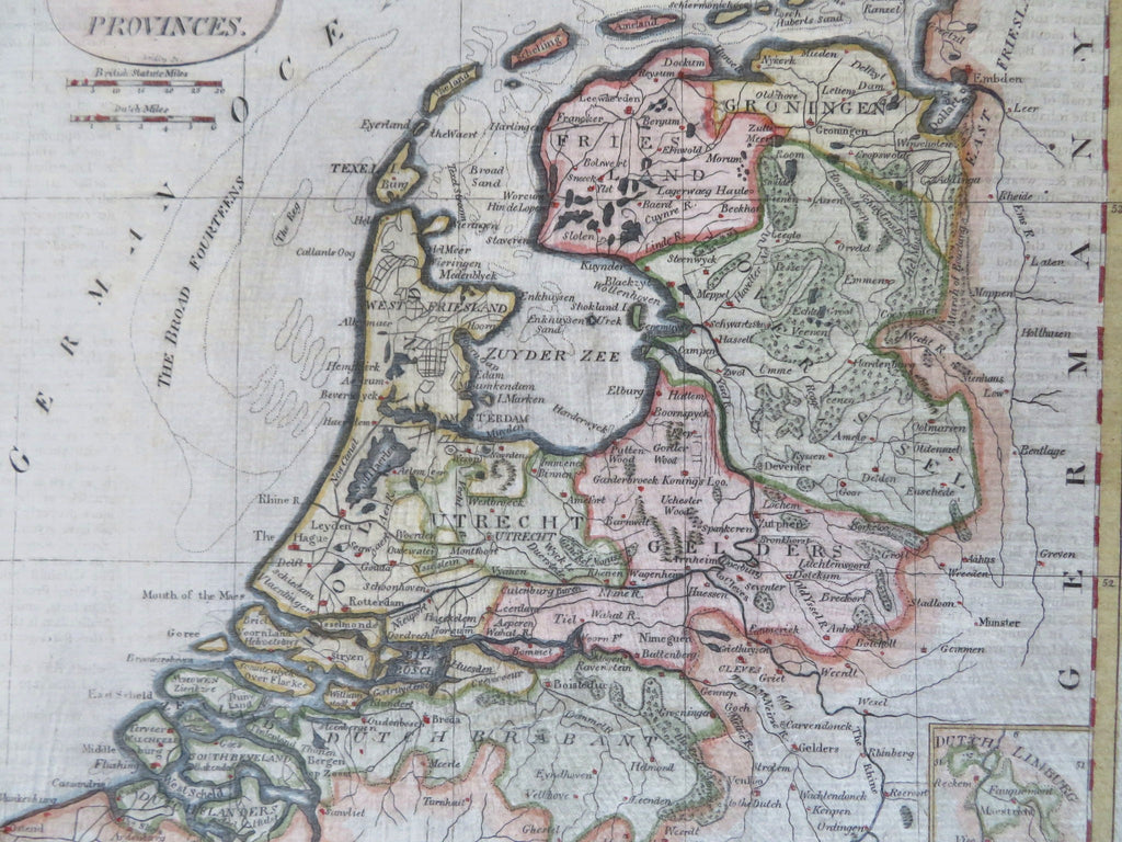
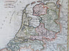
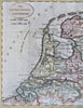
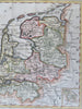
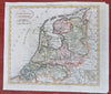
The Seven United Provinces.
(Old Maps, 19th Century Maps, Europe, Low Countries, Netherlands, United Provinces, Holland, Zealand, Friesland, Groningen, Overijssel, Gelders, Utrecht, Brabant).
Issued c. 1800, Boston by Thomas & Andrews. Engraved by Gridley.
Late 18th/early 19th century engraved map with lovely hand color.
A quite early American-made map of this country in Europe.
Nice looking example, pleasing age patina, any minor age flaws easy to overlook or forgive.
Original fold lines as issued.
Sheet Measures c. 8 1/4" H x 9 1/2" W.
Engraved Area Measures c. 7 1/4" H x 8 1/4" W.
Cartographic Reference(s):
Tooley's Dictionary of Mapmakers, vol. 4.
[R34135].