United Provinces Netherlands Holland Zealand Utrecht Friesland 1700 Moll map
Brian DiMambro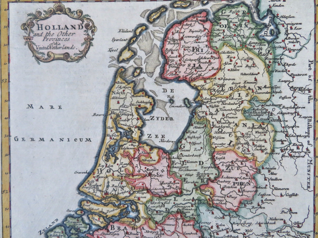
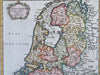
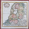
Holland and the Other Provinces of the United Netherlands.
(Old Maps, 18th Century Maps, Europe, Low Countries, Netherlands, United Provinces, Holland, Zealand, Friesland, Utrecht).
Issued c. 1700-10, London by Moll.
Early 18th century engraved map with lovely hand color. Text on reverse.
Nice looking example, pleasing age patina, any minor age flaws easy to overlook or forgive.
Sheet Measures c.7 3/4" H x 7 7/8" W.
Engraved Area Measures c. 7" H x 7 1/4" W.
Cartographic Reference(s):
Tooley's Dictionary of Mapmakers, vol. 3.
[B12344].