Virginia & West Virginia Richmond Norfolk Charleston 1870 Mitchell map
Brian DiMambro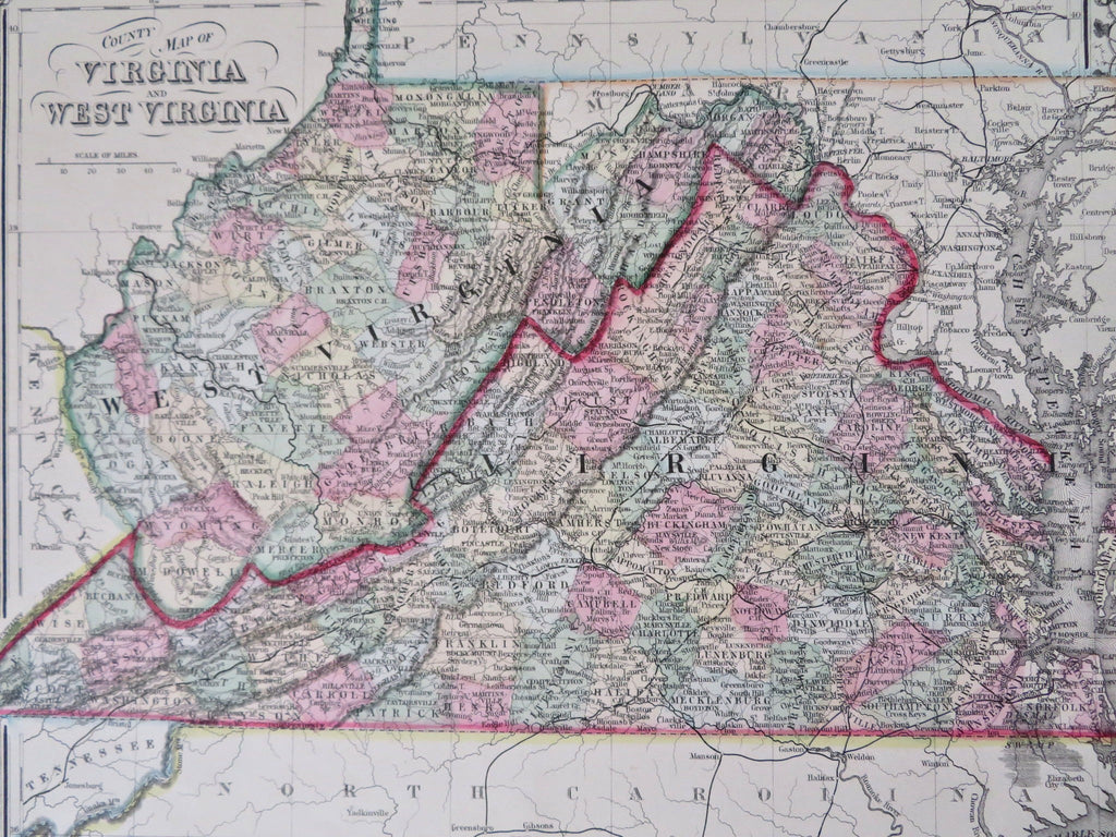
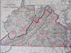
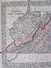
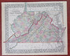
County Map of Virginia and West Virginia.
(Old Maps, 19th Century Maps, Americana, United States, Virginia, West Virginia, Appalachians, Richmond, Norfolk, Charleston).
Issued c.1870, Philadelphia by S.A. Mitchell.
19th century engraved map, with original hand color. Mitchell maps of this mid-century era were issued with a range of color as well as variant decorative borders.
Nice looking example, pleasing age patina, any minor age flaws easy to overlook or forgive.
Sheet Measures c. 12 1/2"H x 15 1/4" W.
Engraved Area Measures c. 10 1/2" H x 13 1/2" W.
Cartographic Reference(s):
Reps, American Maps and Mapmakers, p. 313.
Tooley's Dictionary of Mapmakers, vol. 4, pp. 260.
[R32155].