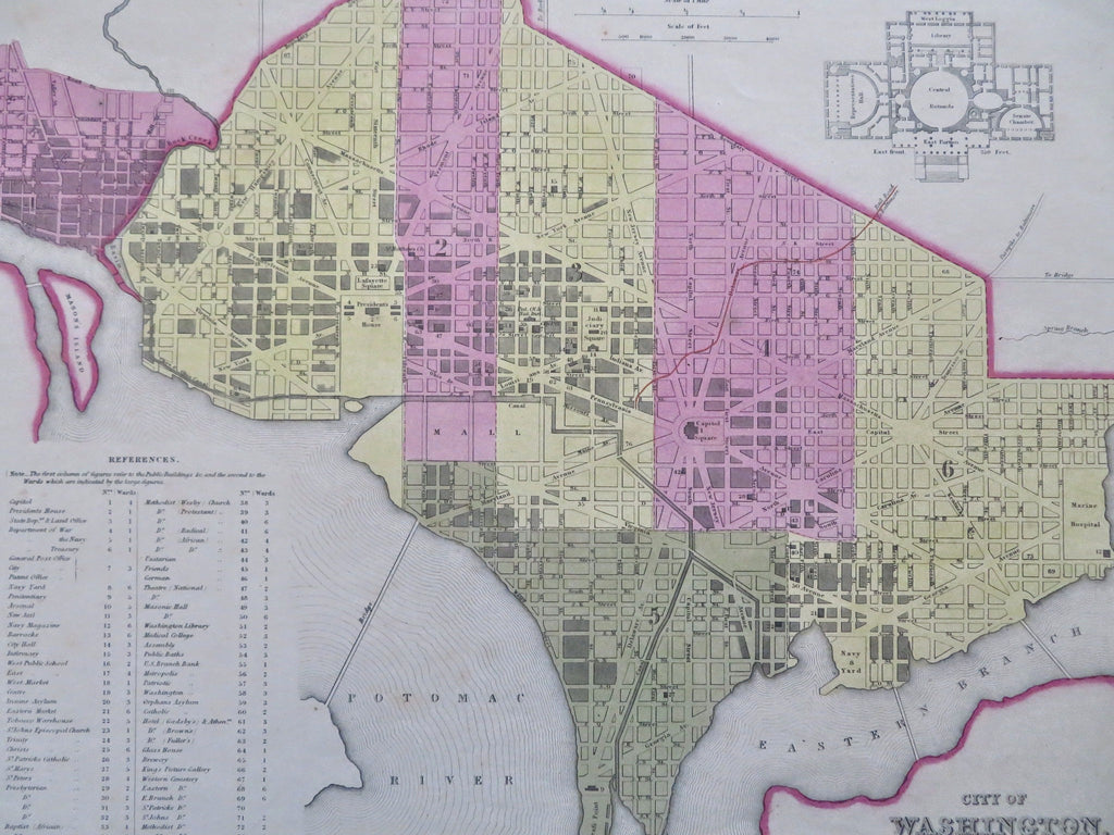
Washington D.C. Capitol Floor 1846-9 Mitchell Burroughs City Plan Map
Brian DiMambro


City of Washington.
(Old Maps, 19th Century Maps, United States, District of Columbia, Potomac River, Capitol Building, Pennsylvania Ave, Mason's Island).
Issued 1846-9, Philadelphia by S.A. Mitchell & H.N. Burroughs.
Attractive and uncommon mid-19th century lithographed map with original hand color. Not to be confused with the much more common later version of this plan by Mitchell which are entirely different with different coloration, etc.
Decorative interlaced border surrounds the map. Includes diagram top right "Part of the Principal Floor of the Capitol".
Reference key lower left identifies 75 specific buildings and sites across the city including a graveyard for Africans, public baths, a medical college, African Baptist churches, a tobacco warehouse, insane asylum, and much more..
Map sheet lightly evenly age toned as typical, overall clean and well preserved with a fine age patina and visual appeal unique to this era.
Sheet measures c. 17 1/4" H x 13 5/8" W.
Printed area measures c. 15 1/2" H x 12 3/4" W.
Tooley's Dictionary of Mapmakers , vol. 1, p. 214 & vol. 3, p. 260.
Ristow, American Maps and Mapmakers , p. 313.
[R35654].
