Washington D.C. city plan 1874 Mitchell hand colored nice map
Brian DiMambro- Antiquarian Books, Maps & Prints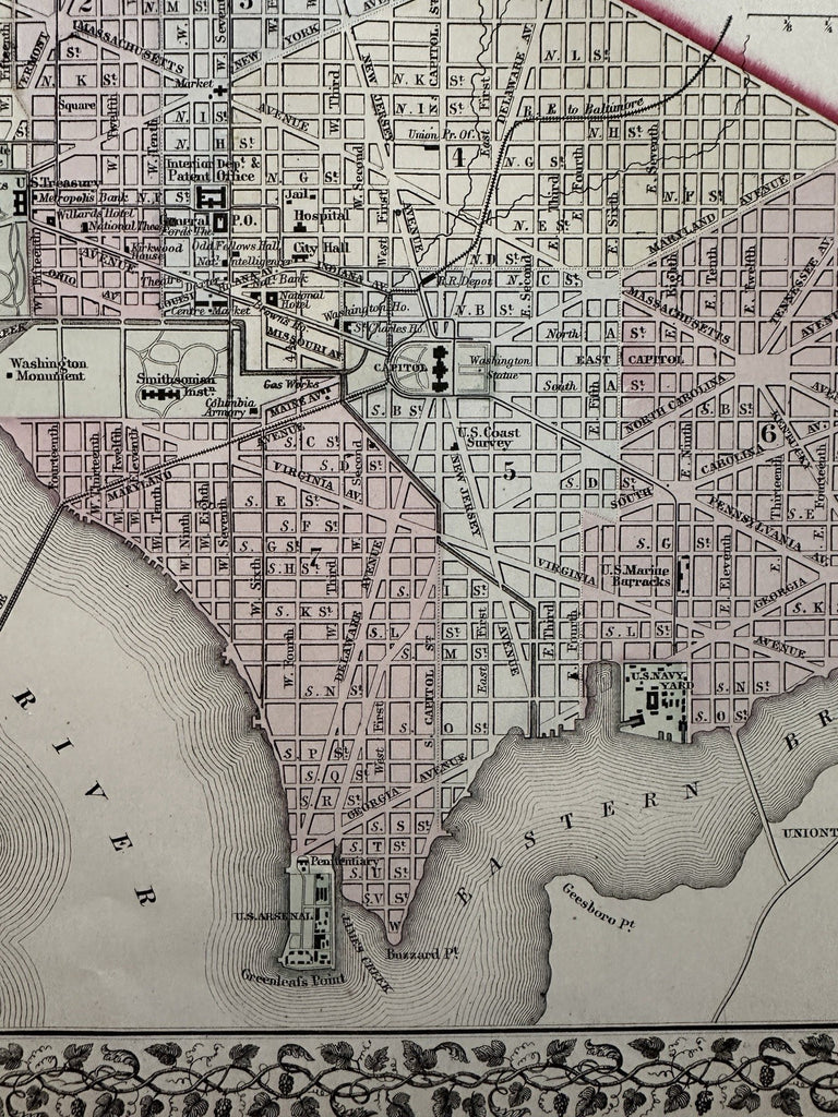
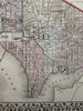
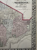
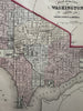
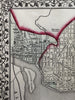
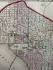
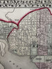
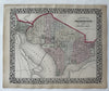
Plan of the city of Washington, The Capitol of the USA.
Issued 1874 Philadelphia by S.A. Mitchell. Drawn and engraved by WH Gamble.
Excellent mid-19th century lithographed city plan, with original hand color.
Assortment of buildings are identified and shown. Georgetown seen at top left.
Attractive map, clean, pleasing age patina, any minor age flaws easy to overlook or forgive.
Sheet Measures c. 15 1/4" x 12 1/4”.
Engraved Area Measures c. 13 1/2" x 11”.
Cartographic Reference(s):
Reps, American Maps and Mapmakers, p. 313.
Tooley's Dictionary of Mapmakers, vol. 1 & vol. 4, pp. 260.
R36530