Washington D.C. Delaware Maryland 1856 Morse small cerographic hand color map
Brian DiMambro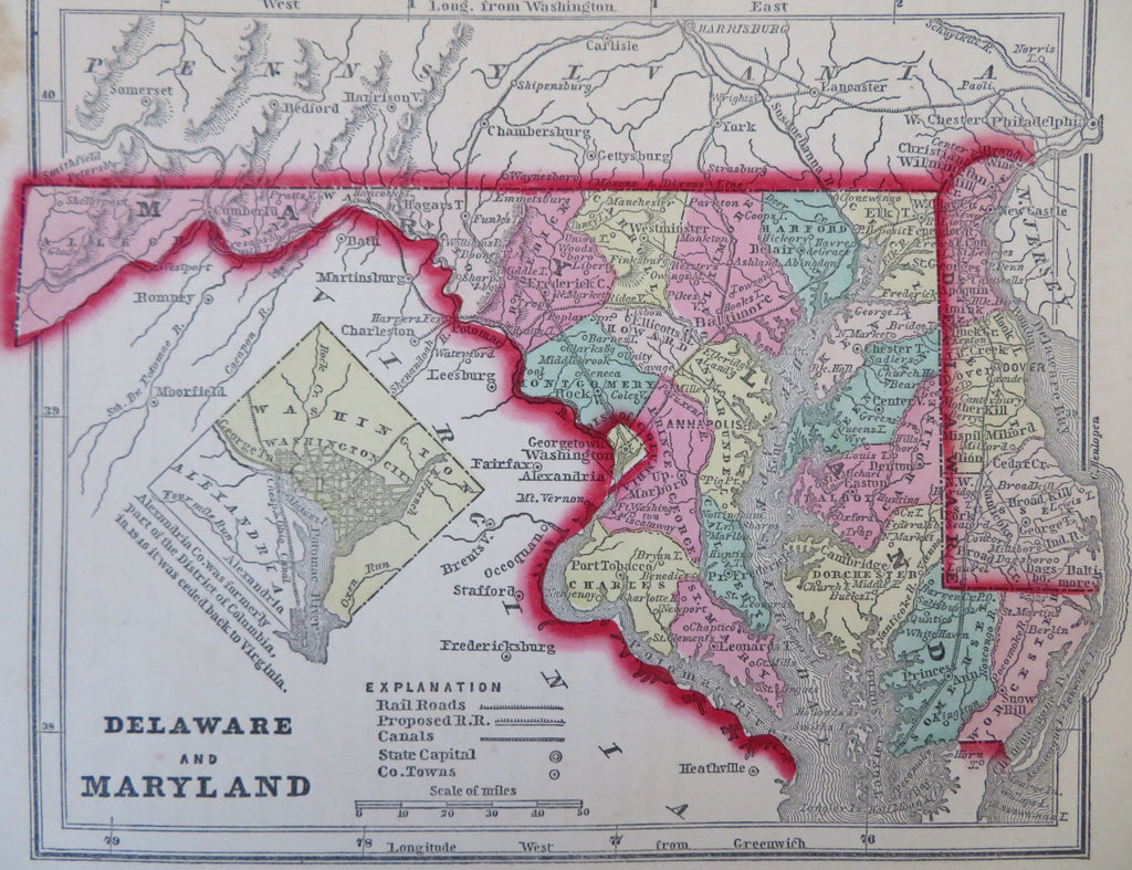

Delaware and Maryland.
(Old Maps, 19th Century Maps, North America, United States, Mid-Atlantic, Maryland, Delaware, Baltimore, Dover, Annapolis, Washington D.C., Chesapeake Bay, Potomac River).
Issued 1856, New York by Morse & Gaston for Colby.
Mid 19th century cerographic (wax engraved) map with original hand color. Inset depicts a city plan of Washington D.C.
Nice looking example, pleasing age patina, any minor age flaws easy to overlook or forgive.
Sheet Measures c. 6" H x 7 1/4" W.
Printed Area Measures c. 5" H x 6 1/4" W.
Cartographic Reference(s):
Tooley's Dictionary of Mapmakers, vol. 3 pp 285.
Ristow, American Maps & Mapmakers, pp. 154, 468 & 469.
[B12335].