Yarmouth England Norfolk City Walls c. 1760 Bellin hand color engraved fine map
Brian DiMambro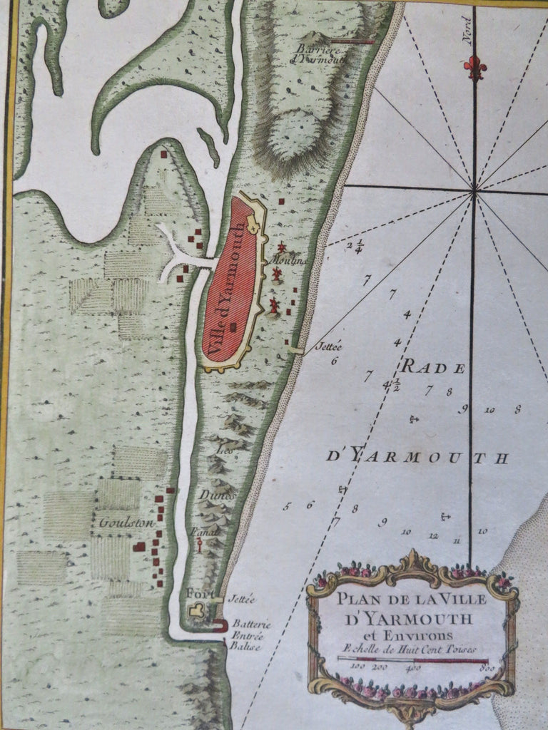
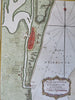
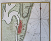
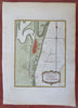
Plan de La Ville de Yarmouth et Environs.
(Old Maps, 18th Century Maps, Europe, British Isles, England, Norfolk, Yarmouth, Farms, City Walls, Beach).
Issued c. 1760, Paris by Bellin.
Mid 18th century engraved map with attractive hand color.
Remains a nice looking example with a pleasing age patina. Any age flaws mostly minor and easy to overlook or forgive.
Sheet Measures c. 13" H x 9" W.
Engraved Area Measures c. 8 1/2" H x 6 1/2" W.
Cartographic Reference(s):
Tooley's Dictionary of Mapmakers, vol. 1.
[R34160].