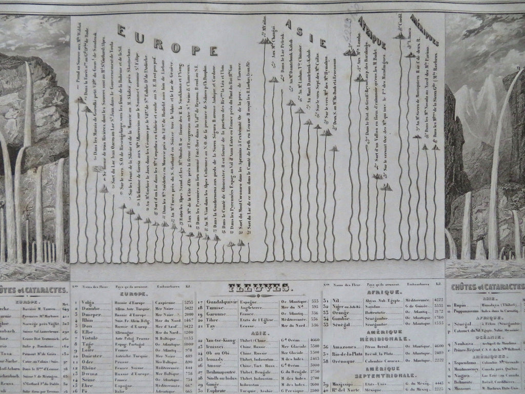
World Rivers & cataracts length comparison chart 1852 scarce detailed print
Brian DiMambro


Tableau Indiquant La Longeur Des Principaux Fleuves et La Hauteur De Quelques Chutes.
(Old Prints, 19th Century Prints, Geography, World Rivers, Water Falls, Volga, Danube, Yangtze, Amazon, Nile, Mississippi, Dnieper, Rhine, Elbe, Euphrates, Tigris, Ganges, Indus).
Issued 1852, Paris by Basset. Print by George & Smith.
Mid 19th century engraved print comparing lengths of rivers and waterfalls around the world, arranged by continent.
Remains a nice looking example with a pleasing age patina, some scattered small spotting and light old staining along the edges and blank margins. Any age flaws mostly minor and easy to overlook or forgive.
Sheet Measures c. 10" H x 13" W.
Engraved Area Measures c. 9" H x 12" W.
Cartographic Reference(s):
Tooley's Dictionary of Mapmakers, vol. 1.
[R32372].
