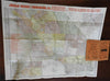
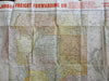
California state c.1910 Judson Freight RR rare large color pocket map
Brian DiMambro- Antiquarian Books, Maps & Prints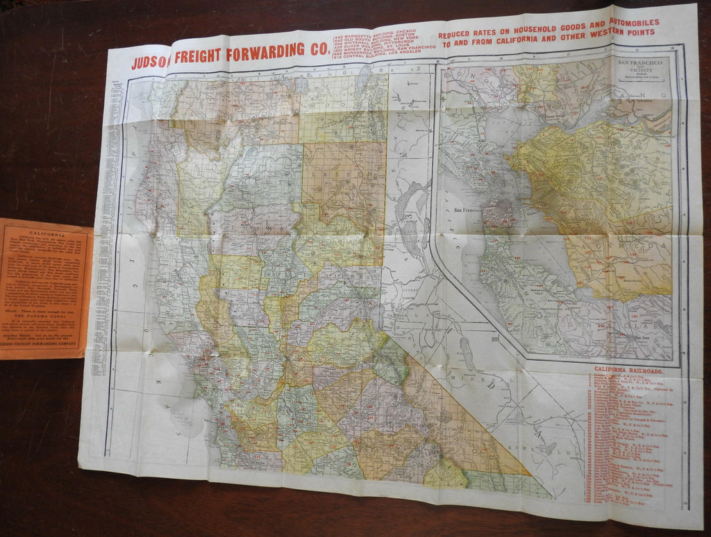

(North America, United States, California, Old Maps, Early 20th Century Maps, Americana).
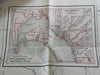
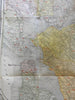
Map of the State of California Showing Railroads, Cities, Towns, Post Offices, Counties, Lakes, Rivers, Etc.
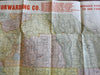
Published c. 1910-20 by the Judson Freight Forwarding Company.
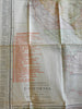
Large early 20th century folding offset color map, printed on two sides.
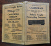
Rare promotional pocket map issued by this California firm, overprinted across the top by the company.
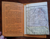
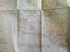
Publisher's pictorial paper wrappers.
Map is physically old and shows some signs of handling and time. Map is not new or in "new" condition.
Binding gently rubbed and age worn, remains overall attractive as an object.
Paper is gently toned, original fold lines as issued.
Map displays a pleasing and unique age patina and is in nice antiquarian condition, any age flaws easy to overlook or forgive.
Please review photos for more detail and our best attempt to convey how this early 20th century pocket map survives.
Map Measures c. 19" H x 26" W.
[B2817].