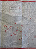
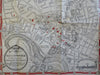
Boston Mass. & Cambridge city plans c.1943 WW II pocket map NE Telephone guide
Brian DiMambro- Antiquarian Books, Maps & Prints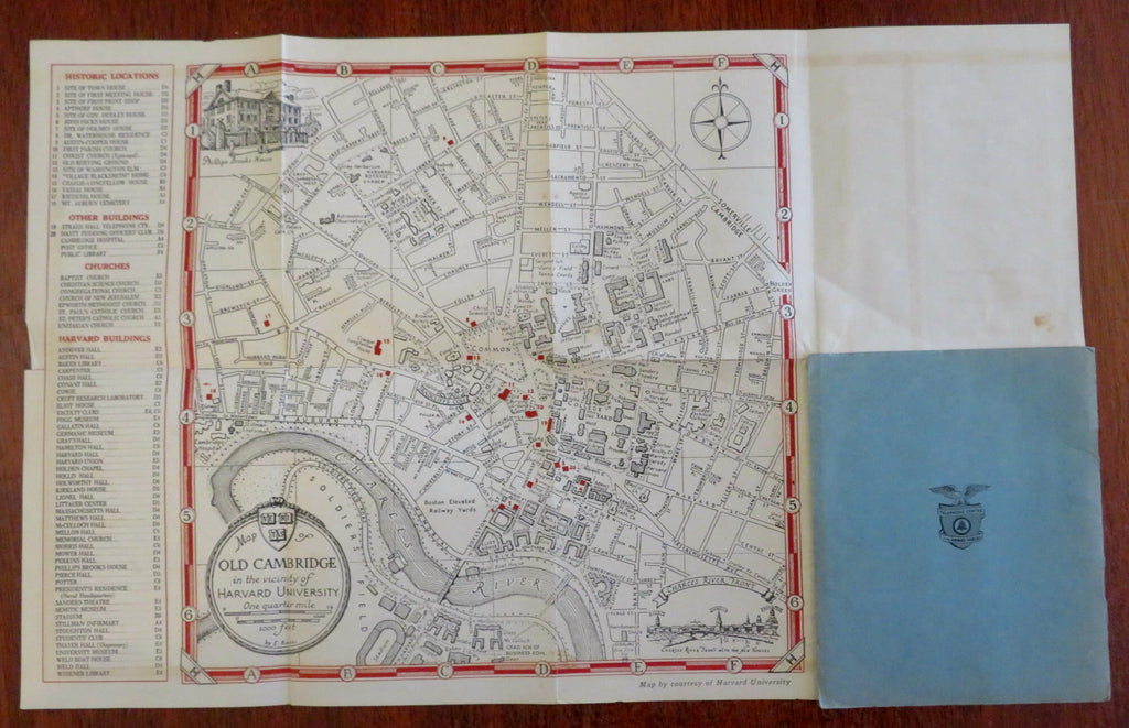

(Old Maps, 20th Century Maps, United States, Americana, Montana, Travel, Tourism, Road Maps).
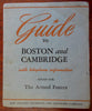
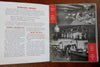
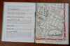
Guide to Boston and Cambridge with Telephone Information issued for the Armed Forces.
Issued WW II era (c.1941-5), likely Boston by New England Telephone & Telegraph Co.
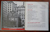
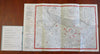
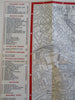
Publisher's card stock paper wrappers booklet, large two sided folding city plan map.
Item is old and shows some signs of handling and time. Item is not new or in "new" condition.
Paper gently age worn, slight rubbing, remains overall clean and attractive as a fragile survival.
Paper is lightly toned, signs of handling, small scattered spotting, internally still well preserved, tight, sound.
Still attractive on the shelf. The scarce pamphlet displays a pleasing and unique age patina and is in nice antiquarian condition, any age flaws easy to overlook or forgive.
Please review photos for more detail and our best attempt to convey how this item survives.
Covers measures c. 6 1/4" H x 5 1/8" W.
Map sheets c. 19" W x 12" H.
[B7535].