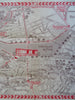
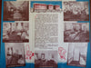
Boston Mass. Hotel Myles Standish c. 1940's cartoon pictorial city plan map
Brian DiMambro- Antiquarian Books, Maps & Prints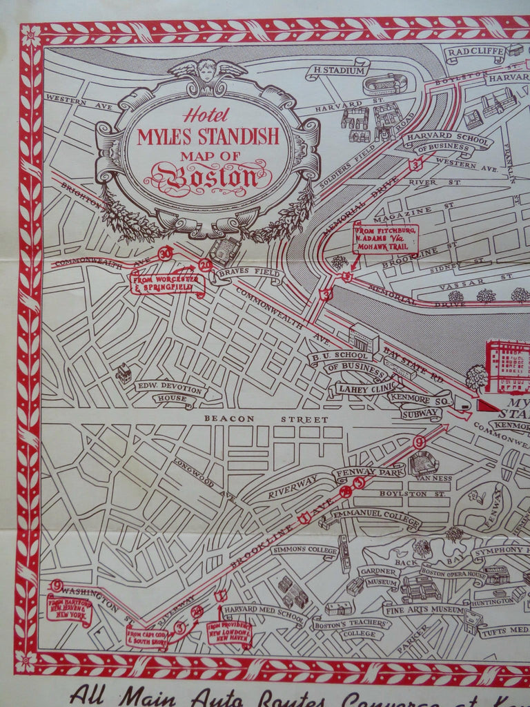
(Old Maps, 20th Century Maps, Americana, Travel, Tourism, New England, Massachusetts, Boston, Hotel Myles Standish, Cartoon Pictorial Map).
Hotel Myles Standish Map of Boston.
Published c. 1940's, Boston by Hotel Myles Standish.
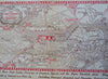
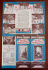
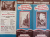
Folding cartoon pictorial travel map issued by a hotel, printed on both sides of the sheet. Text in English.
Map is vintage and shows some signs of handling and time. Sheet is not new or in "new" condition.
Tourist map issued as a guide to highlight the sightseeing locations of Boston. Tourist information & advertising on reverse.
Paper gently age worn, slight rubbing, remains overall clean and attractive as an ephemeral survival.
Map displays a pleasing and unique age patina and overall is in nice antiquarian condition, any age flaws easy to overlook or forgive.
Please review photos for more detail and our best attempt to convey how this ephemeral cartographic item survives.
Original fold lines as issued.
Map measures c. 12" H x 18" W.
[B8549].