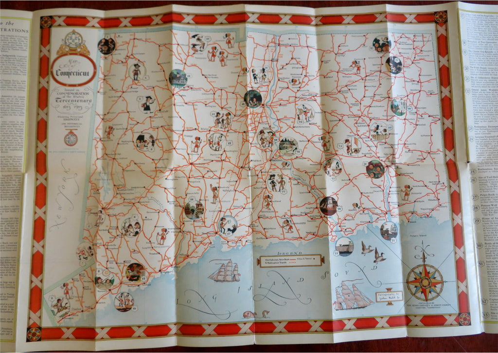
John Held Jr. artwork 1935 Connecticut State Map Tercentenary Souvenir
Brian DiMambro- Antiquarian Books, Maps & Prints


Map of Connecticut Showing Principal Highways, with Illustrations by John Held Jr. and Historic References.
(Old Books, 20th Century Books, Americana, New England, Connecticut, Local History, Tercentenary Celebrations, Illustrated Books, State Maps, John Held Jr.).
Issued 1935, United States by Aetna Casualty and Surety Company.
Early 20th century souvenir pictorial map. Unfolds to color lithographed map of Connecticut state with color cartoon images by John Held, Jr. Printed on both sides.
Well preserved, nice looking example with pleasing age patina, any age flaws are minor.
Original fold lines as issued.
Covers Measure c. 9 1/4" H x 4" W.
Unfolded map measures c. "H x "W.
[B6092].
