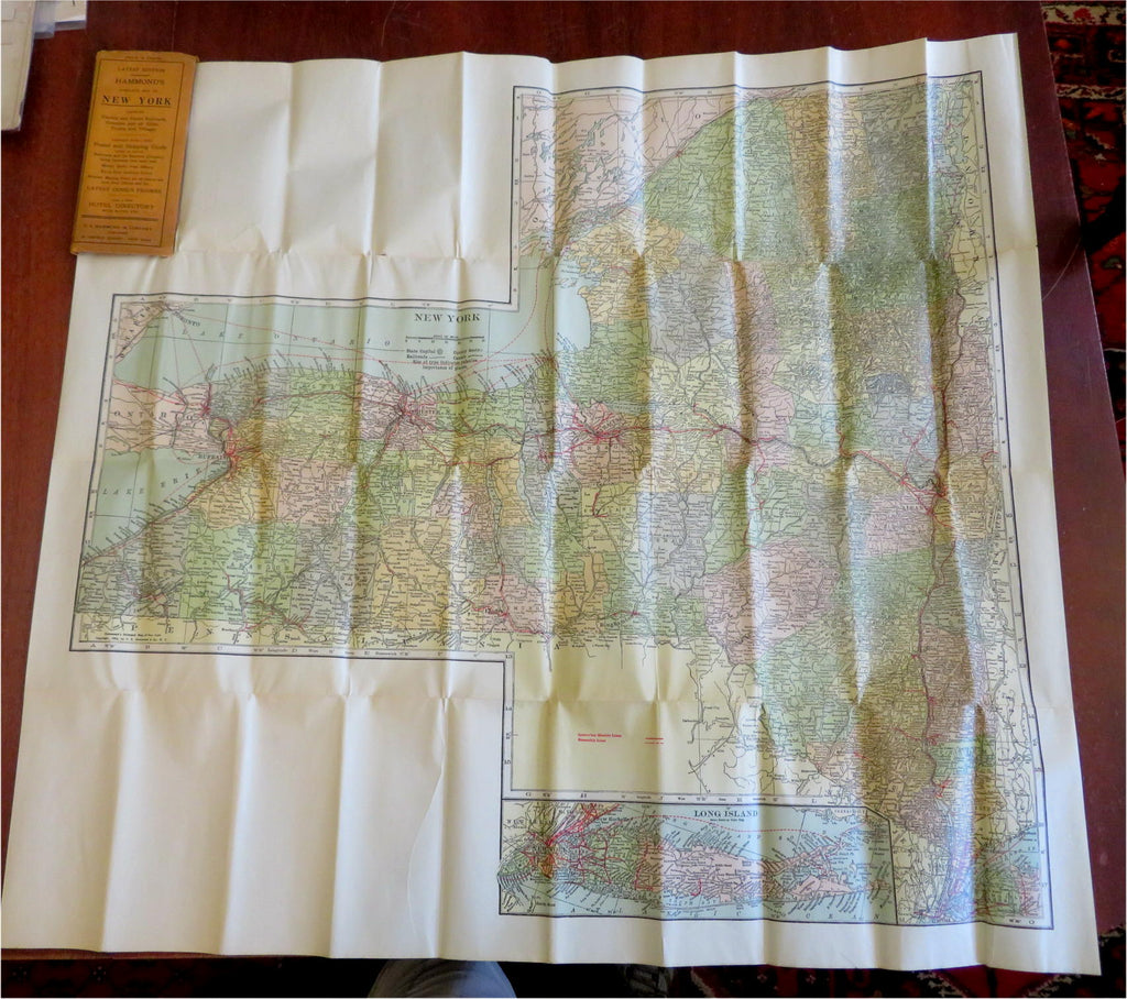
New York State Railroads Post Offices Demographic Info 1913 Hammond pocket map
Brian DiMambro- Antiquarian Books, Maps & Prints


(Old Maps, Americana, United States, New York, Manhattan, Hudson River, Finger Lakes, Railroads, Post Offices, Demographic Info).
Hammond's Complete Map of New York Showing Electric and Steam Railroads, Counties and All Cities, Towns and Villages. Together with a New Postal and Shipping Guide, Giving in Detail Railroads and the Express Company Doing Business Over Each Road, Money Order Post Offices, Rural Free Delivery Points, Nearest Mailing Point for All Places Not Now Post Office and the Latest Census Figures. Also a New Hotel Directory with Rates, Etc.
Published c. 1913, New York by C.S. Hammond and Company.
Folding color pocket map,printed on reverse with extensive index. Text in English.
Publisher's advertising paper wrappers.
Book is physically old and shows some signs of handling and time. Book is not new or in "new" condition.
Binding gently age worn, mostly light signs of handling and time but nothing offensive or severe, book remains overall attractive as an object.
Paper is gently toned, internally still clean, tight, sound internally.
Still attractive on the shelf. The book displays a pleasing and unique age patina and is in overall nice antiquarian condition, any age flaws which may be present seem easy to overlook or forgive.
Please review photos for more detail showing how this book survives. The asking price reflects the condition based on our examination and 35+ years full time exposure to antiquarian books, maps and printed ephemera of all types and genres. Flaws seen and/ or described have been taken into account.
Book Measures c. 7 1/2" H x 3 1/2" W.
[B6323].
