Ancient Egypt North Africa 1878 Hieroglyphics illustrated w/maps money Macedonia
Brian DiMambro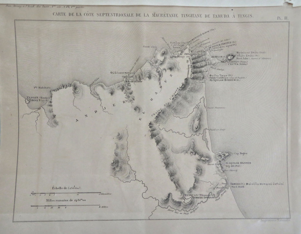

(Old Books, 19th Century Books, French Books, Art History, Institute of France, Inscriptions, Macedonia, Athenian Colonies, Ancient Egypt, hieroglyphics, Illustrated Books).
Memoires Presentes Par Divers Savants A L'Academie des Inscriptions et Belles-Lettres de L'Institut de France.- Premiere Serie- Tome IX- premier partie.
Published 1878, Paris by the Impremerie Royal.
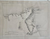
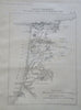
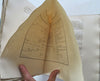
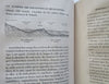
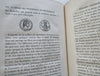
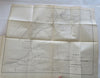
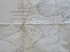
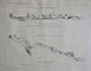
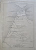
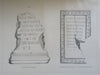
430 pages. Text in French. Illustrated with numerous engraved maps and a large folding map of the coast of Mauretania in north Africa.
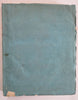
Publisher's original soft cover paper wrappers, deckled edges, entirely untrimmed original interim (temporary) binding. Many pages still unopened at top as issued. Each volume was issued separately over time, each volume stands alone complete unto itself.
Book is physically old and shows some signs of handling and time. Book is not new or in "new" condition.
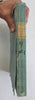
Binding age worn, spine well chipped, edges with small chipping, paper label chipped but readable, split to spine, covers edge chipped, rear cover with edge tear, mostly light or inoffensive signs of handling and time but nothing severe or unsightly, book remains overall attractive as an object.
Paper is gently toned, still clean, tight, sound internally.
Still attractive on the shelf. The book displays a pleasing and unique age patina and is in overall nice antiquarian condition, any age flaws which may be present seem easy to overlook or forgive.
Please review photos for more detail showing how this rare book survives. The asking price reflects the condition based on our examination and 35+ years full time exposure to antiquarian books, maps and printed ephemera of all types and genres. Flaws seen and/ or described have been taken into account.
Book Measures c. 11" H x 9" W.
[B13011].