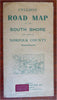
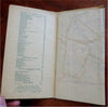
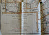
Cyclist's Road Map Norfolk County Massachusetts South Shore 1905-15 pocket map
Brian DiMambro- Antiquarian Books, Maps & Prints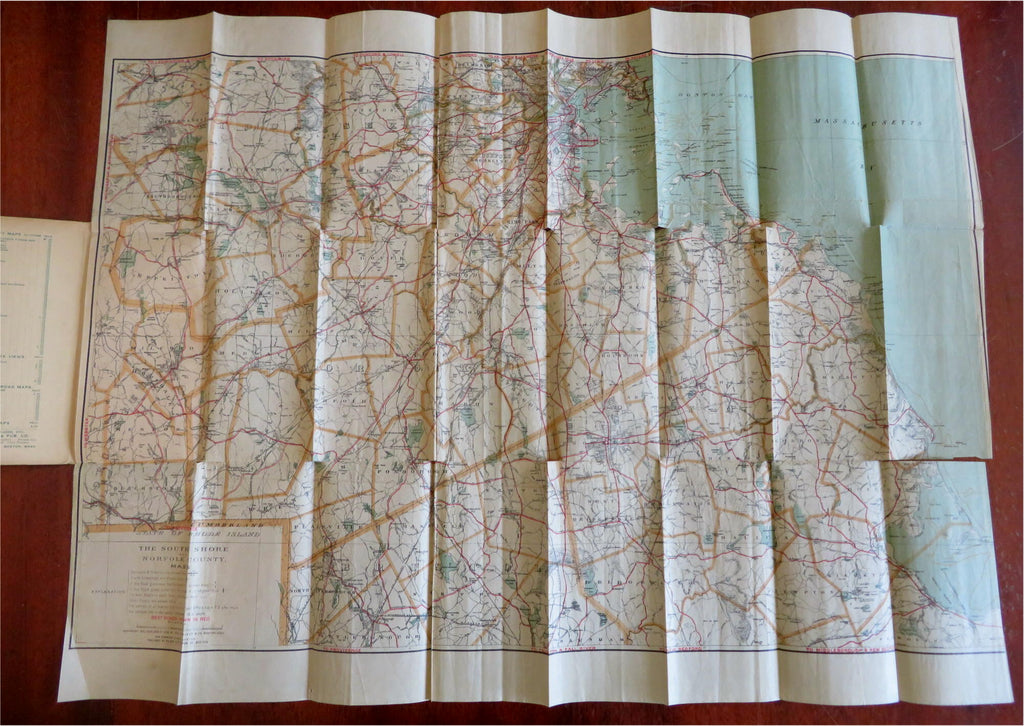


(Americana, Old Maps, Travel, Tourism, Cycling, New England, Massachusetts, Norfolk County, South Shore, Regional Map, Pocket Map).
Cyclist's Road Map of the South Shore and Part of Norfolk County Massachusetts.
Published c. 1905-1915, Boston by Walker Lithograph & Publishing Co.
Folding map. Text in English. Stamp/sticker from retailer placed front cover: Hooper, Lewis & Co.
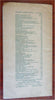
Publisher's pictorial paper wrappers, large color lithographed map within. Pencil notation on cover noting it came from the home of former Massachusetts governor John Davis Long.
Item is old and shows some signs of handling and time. Item is not new or in "new" condition.
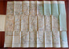
Map paper gently age worn, slight rubbing, various splits along fold lines from use, remains overall clean and attractive as a fragile survival.
Paper is lightly toned, signs of handling, small scattered spotting, internally still well preserved, tight, sound.
Still attractive on the shelf. The scarce pamphlet displays a pleasing and unique age patina and is in nice antiquarian condition, any age flaws easy to overlook or forgive.
Please review photos for more detail and our best attempt to convey how this item survives.
Covers measures c. 7 1/2" H x 4" W.
Map sheet measures c. 28 1/4" W x 21" H.
[B6032].