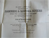
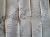
East Africa Zambesi River huge rare map 1885 Stanford Royal Geographic Society
Brian DiMambro- Antiquarian Books, Maps & Prints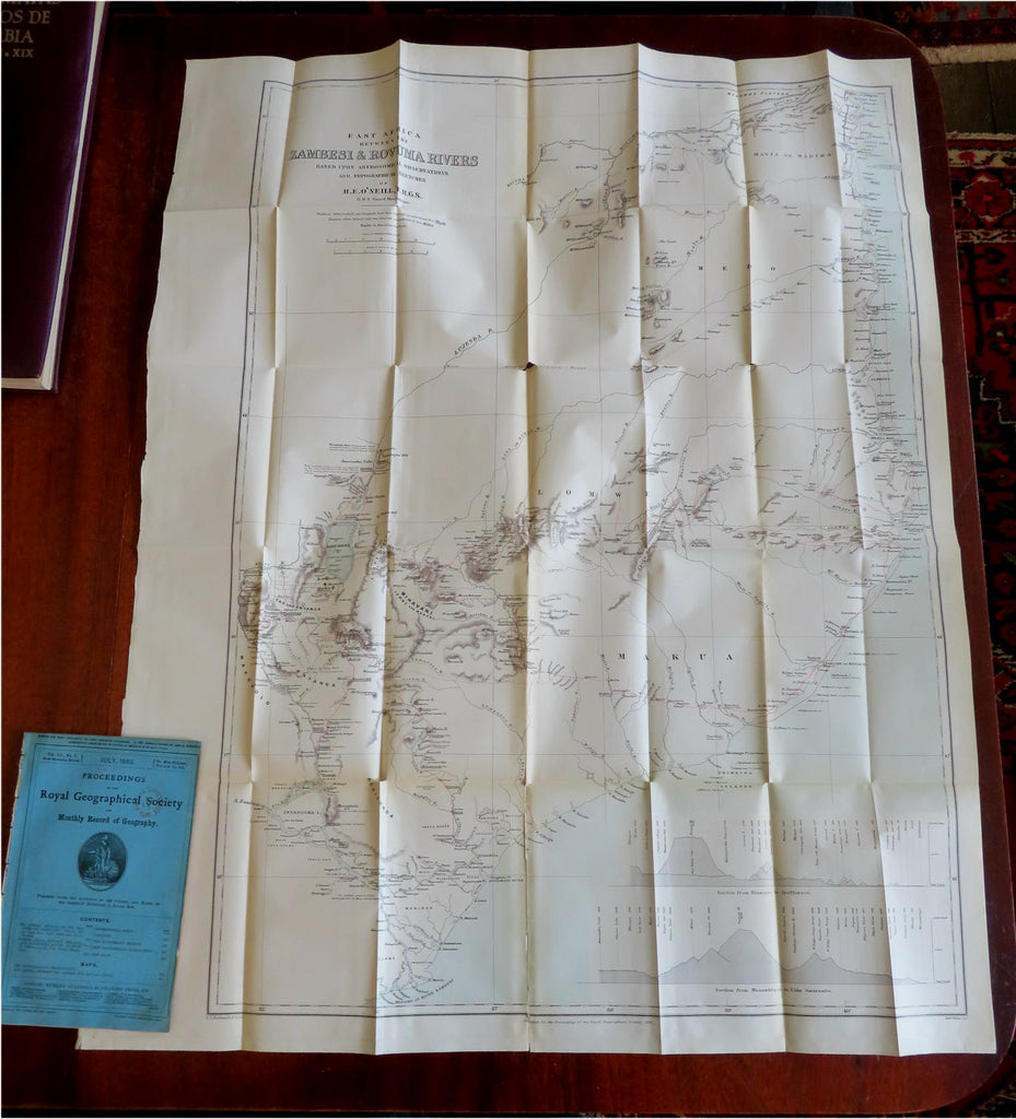
(Old Books, 19th Century Books, Periodicals, Royal Geographic Society, Sciences, Geography, East Africa, Zambesi, Rovuma Rivers, Books with Maps).
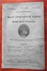
Proceedings of the Royal Geographic Society and Monthly Record of Geography.
Published July 1885, London by Edward Stanford.
Page count starts p. 417 ends with p. 496. Text in English.
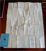
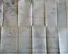
Front cover only, no rear cover- disbound from a sammelband, the huge Africa map is also detached with some repairs to tears on reverse, one is a long split along the bottom fold line. Rare in any condition.
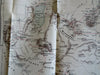
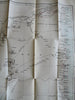
One huge folding map at rear as issued (appears unopened although paper is fairly brittle and could split along fold lines if not handled with care).
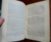
Contents include: "The Annual Address of the Progress of Geography: 1884-5", by Lord Aberdare; "Eastern Africa Between the Zambesi and Rovuma Rivers" by Henry E. O'Neill.
Maps include: "The Bechuana-Land Protectorate" and "East Africa, Between Zambesi and Rovuma Rivers".
Scarce late 19th century geographical periodical removed from bound volume (evidence visible along spine).
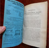
Original paper cover, lacking rear wrapper. Interior clean, some pages loosened from old dried glue binding, light signs of use, rubber stamp to cover.
The periodical remains relatively well preserved given the fragile nature. It displays a pleasing and unique age patina, the age flaws easy to overlook or forgive.
Please review photos for more detail and our best attempt to convey how this antique item survives. Uncommon 19th century scientific magazine in any condition.
Magazine Measures c. 9 1/2" H x 6 1/8" W.
Africa map sheet measures c. 36" H x 28" W.
[B8731].