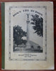
Hudson River New York Cruise Guide 1902 pictorial tourist book w/ long river map
Brian DiMambro- Antiquarian Books, Maps & Prints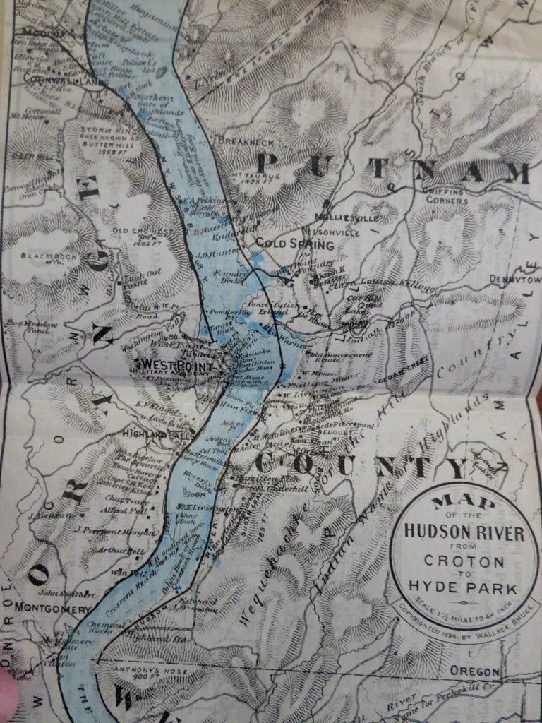
(Old Books, 20th Century Books, Americana, Travel, Tourisms, New York, Hudson River, Cruise, Illustrated Books, Books withy Maps).
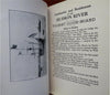
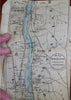
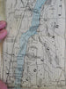
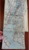
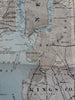
Down River Guide and Map of the Hudson River, Showing the Prominent Residences, Historic Landmarks, Old Reaches of the Hudson, Indian Names, &c. with Descriptive Pages.
Published 1902, New York by Bryant Union Publishing Company.
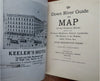
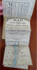
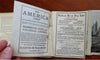
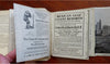
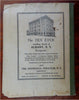
32 pages plus long detailed folding river map (printed on both sides, reverse displays advertising). Text in English. Illustrated throughout.
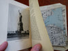
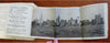
Publisher's pictorial paper wrappers, enormous "Hudson by Daylight" river strip map at rear (covers from New York Bay to the head of the Tide Water containing (thousands) of (place) names, streams, islands. and mountain heights plus names of prominent residents, old Indian names, etc.
The guide book is physically old and shows some signs of handling and time. Book is not new or in "new" condition.
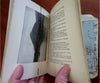
Binding gently age worn, small chipping to corners, mostly light or inoffensive signs of handling and time but nothing severe or unsightly, book remains overall attractive as an object.
Paper is gently toned, still clean, tight, sound internally. The long folding map is a bit misfolded, overall clean, some creasing, a couple fold lines display some splitting, browning and small minor chipping to paper (likely from protruding slightly from booklet).
Still attractive on the shelf. The book displays a pleasing and unique age patina and is in overall nice antiquarian condition, any age flaws which may be present seem easy to overlook or forgive.
Please review photos for more detail showing how this book survives. The asking price reflects the condition based on our examination and 35+ years full time exposure to antiquarian books, maps and printed ephemera of all types and genres. Flaws seen and/ or described have been taken into account.
Book Measures c. 7" H x 5 1/4" W.
[B8835].