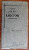
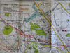
London England c. 1900 G.W. Bacon detailed city plan folding map in booklet
Brian DiMambro- Antiquarian Books, Maps & Prints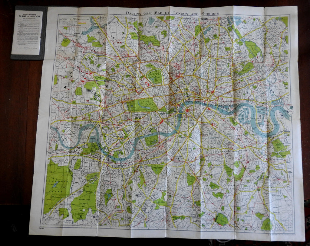


(Europe, British Isles, United Kingdom, England, London, Detailed City Plan).
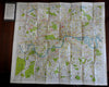
Bacon's Gem Map of London and Suburbs.
Published c. 1900, London by G.W. Bacon & Co.
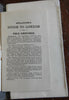
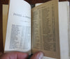
33 pages. Text in English. Large folding color lithographed city plan map.
Lettered paper wrappers, 34 pp. booklet with map index, small pocket size.
Item is physically old and shows some signs of handling and time. Item is not new or in "new" condition.
Binding gently age worn, large map with a couple small old repairs (well done and almost invisible), yet still remains overall clean and attractive as an object.
Text block paper is clean, internally well preserved, little staining or soiling, any flaws of a minor type unworthy of specific mention.
Still attractive on the shelf. Item displays a pleasing and unique age patina and is in nice antiquarian condition, any age flaws easy to overlook or forgive.
Please review photos for more detail and our best attempt to convey how this antique item survives.
Covers measure c. 5 3/4" H x 3 1/4" W.
Map sheet measures c. 25 1/2" W x 22 1/2" W
[B2036].