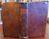
Napoleonic France Geography Book 1809 leather atlas w/ 16 world maps
Brian DiMambro- Antiquarian Books, Maps & Prints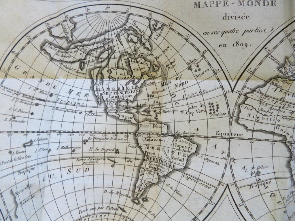
(Old Books, 19th Century Books, Leather Books, School Books, Text Books, Geography, Books with Maps, French Books).
Methode Abregee et Facile Pour Appendre la Geographie.
Published 1809, Paris by Auguste Delalain.
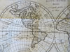
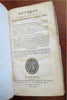
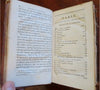
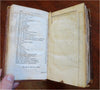
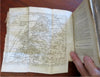
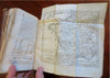
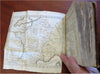
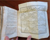
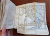
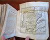
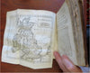
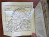
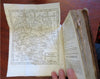
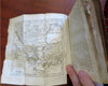
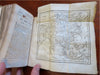
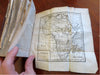
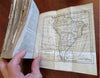
511 pages. Text in French. With 16 engraved folding maps of the world (including the continents and a world in spheres map).
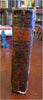
Attractive antiquarian full leather binding, smooth spine, gilt title lettering & spine decorations,
Book is physically old and shows some signs of handling and time. Front cover almost detached, rear joint broken and cover loosened.
Binding well age worn but still appealing, leather and joints rubbed but still supple, remains overall very attractive as an object.
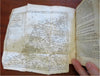
Text block paper is age toned as typical, some fraying to map edges from slightly protruding from text block over the years, Africa map has a short minor (closeable) split within it, internally book remains mostly clean, tight and sound. A book which has been taken care of but may/ does not look like new.
Still attractive on the shelf. Book displays a pleasing and unique age patina and is in rather nice antiquarian condition, any age flaws seem easy to overlook or forgive.
Please review photos for more detailed attempt to present this pocket geography/ small atlas as it survives.
We often over-describe any flaws that many sellers would not even bother to mention since most people would overlook them as minor and unworthy of comment. Many people tell us the books they receive from us are nicer in person than they appears on the screen. We want you to be clear about what you are buying, so we take numerous photos and try to describe it openly and honestly.
Book Measures c. 7" H x 4" W.
[B8973].