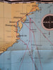
Pan American Flight Map East Coast New York Bahamas Caribbean c 1950's promo map
Brian DiMambro- Antiquarian Books, Maps & Prints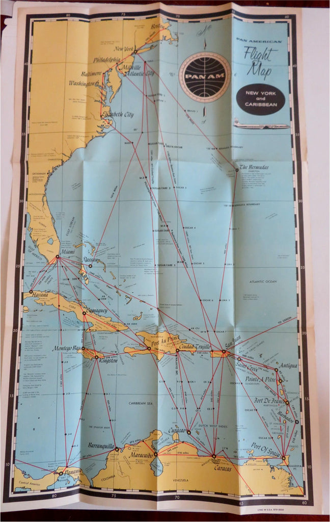

(Old Maps, Americana, Pan American Airlines, New York, East Coast, Bahamas, Caribbean, Flight Distances, Travel, Tourism, Ephemera, Vintage Advertising).
Pan American Flight Map - New York and Caribbean.
Published c. 1950's, United States by Pan American Airlines.
Folding mid-20th century aviation map. Text in English.
Publisher's pictorial color paper wrappers folded into panels.
Item is old and shows some signs of handling and time. Item is not new or in "new" condition.
Paper gently age worn, remains overall clean and attractive as a fragile survival.
Paper is lightly toned, signs of handling, internally still well preserved, tight, sound.
Still attractive on the shelf. The scarce map displays a pleasing and unique age patina and is in nice antiquarian condition, any age flaws easy to overlook or forgive.
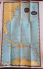
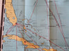
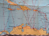
Please review photos for more detail and our best attempt to convey how this item survives.
Map unfolded measures c. 25 1/2" H x 16" W.
[B5937].