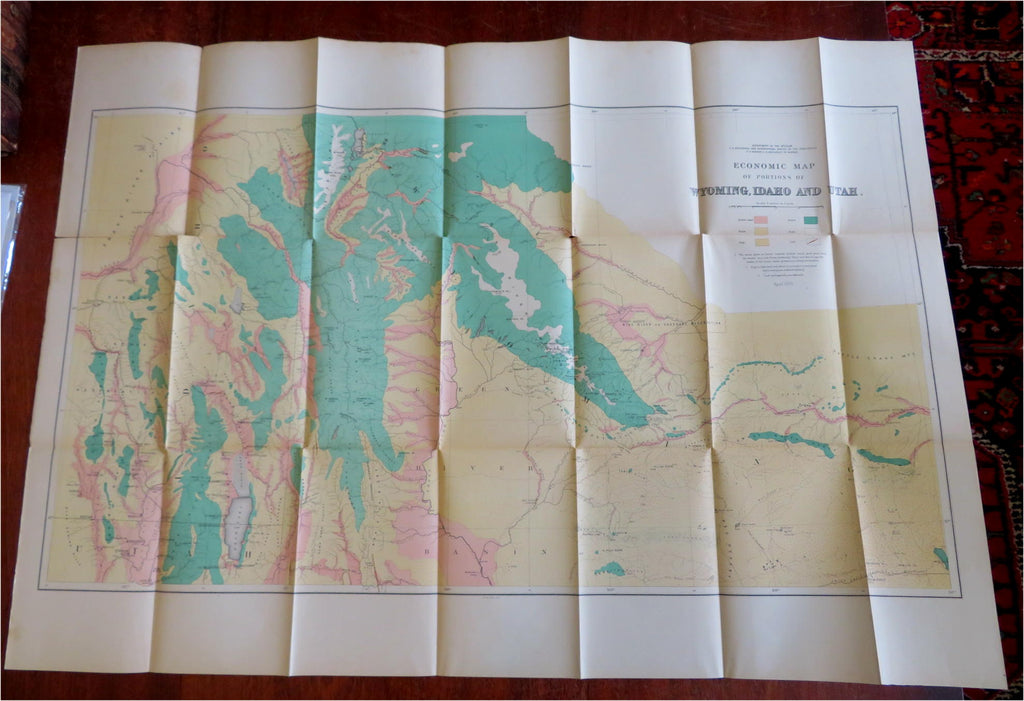
Wyoming Idaho Utah Economic Forest Farming 1878 Geological Survey map
Brian DiMambro- Antiquarian Books, Maps & Prints


Economic Map of Portions Wyoming, Idaho, and Utah.
(Old Maps, 19th Century Maps, Americana, Utah, Wyoming, Idaho, Economics, Forest, Arable Land, Sage).
Issued 1878, Washington D.C. by U.S Geological Survey.
19th century color lithographed folding map.
Original fold liens as issued, assorted mostly short clean splits along fold lines due to the inherently age toned and somewhat fragile paper.
Sheet Measures c. 26 1/2" H x 38" W.
Cartographic Reference(s):
Tooley's Dictionary of Mapmakers, vol. 4.
[B8811].
