Africa Continent Cape Colony Egypt Guinea Madeira c. 1850 Chapman 2 sheet map
Brian DiMambro- Antiquarian Books, Maps & Prints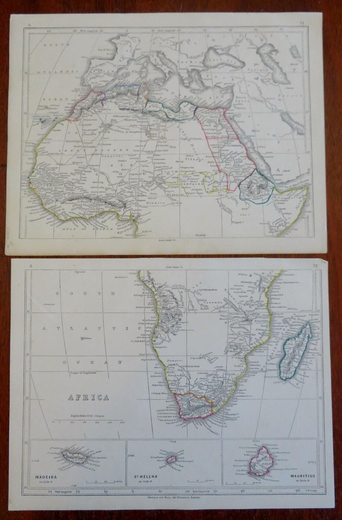

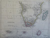
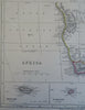
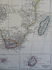
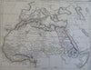
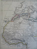
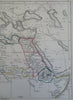
Africa.
(Old Maps, 19th Century Maps, Africa, Egypt, Abyssinia, Guinea, Congo, Morocco, Cape Colony, Madagascar, Madeira, St. Helena, Mauritius).
Issued c. 1850, London by Chapman and Hall.
Mid 19th century engraved map with original outline hand color.
Map consists of two sheets, please see photos.
Well preserved, nice looking example with pleasing age patina.
Sheet Measure c. 9 3/4" H x 12 1/4" W.
Engraved Areas Measure c. 8 1/2" H x 11" W.
Cartographic Reference(s):
Tooley's Dictionary of Mapmakers, vol. 1.
[R29507].