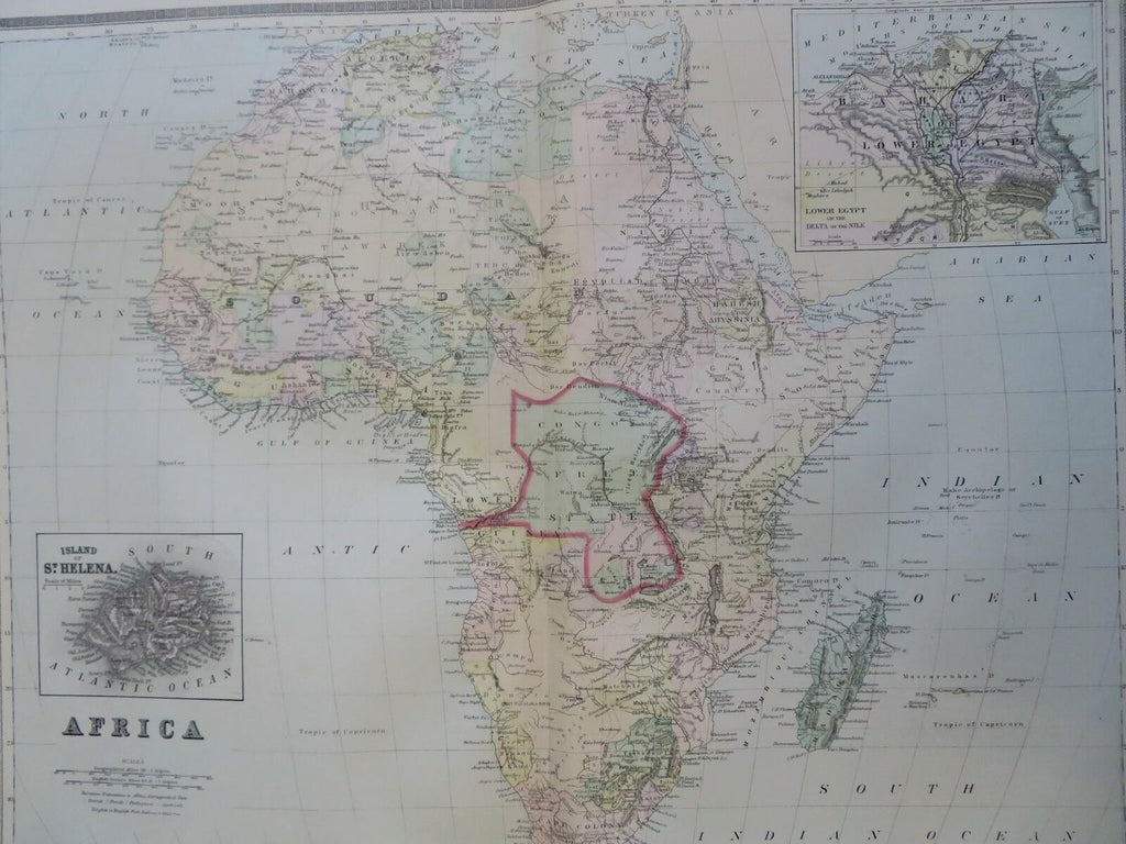
Africa Egypt St. Helena Cape Colony Abyssinia Congo 1889-93 Bradley folio map
Brian DiMambro- Antiquarian Books, Maps & Prints


Africa.
(Old Maps, 19th Century Maps, Africa, Egypt, St. Helena, Cape Colony, Boer Republics, Congo Free State, Sudan, Guinea, Abyssinia, Madagascar, Senegal, Mozambique, Zanzibar).
Issued c. 1889-93, Philadelphia by Bradley.
Well detailed late 19th century oversized folio sheet color lithographed folio map with lovely original hand color.
The political boundaries are unique to this historical moment in time- for instance, note the large "Congo Free State" in the center.
Original center fold as issued. Light old damp staining in wide blank margins, printed area clean.
Sheet Measures c. 26" H x 19" W.
Printed Area Measures c. 22" H x 18" W.
Cartographic Reference(s):
Tooley's Dictionary of Mapmakers, vol. 1.
[R30606].
