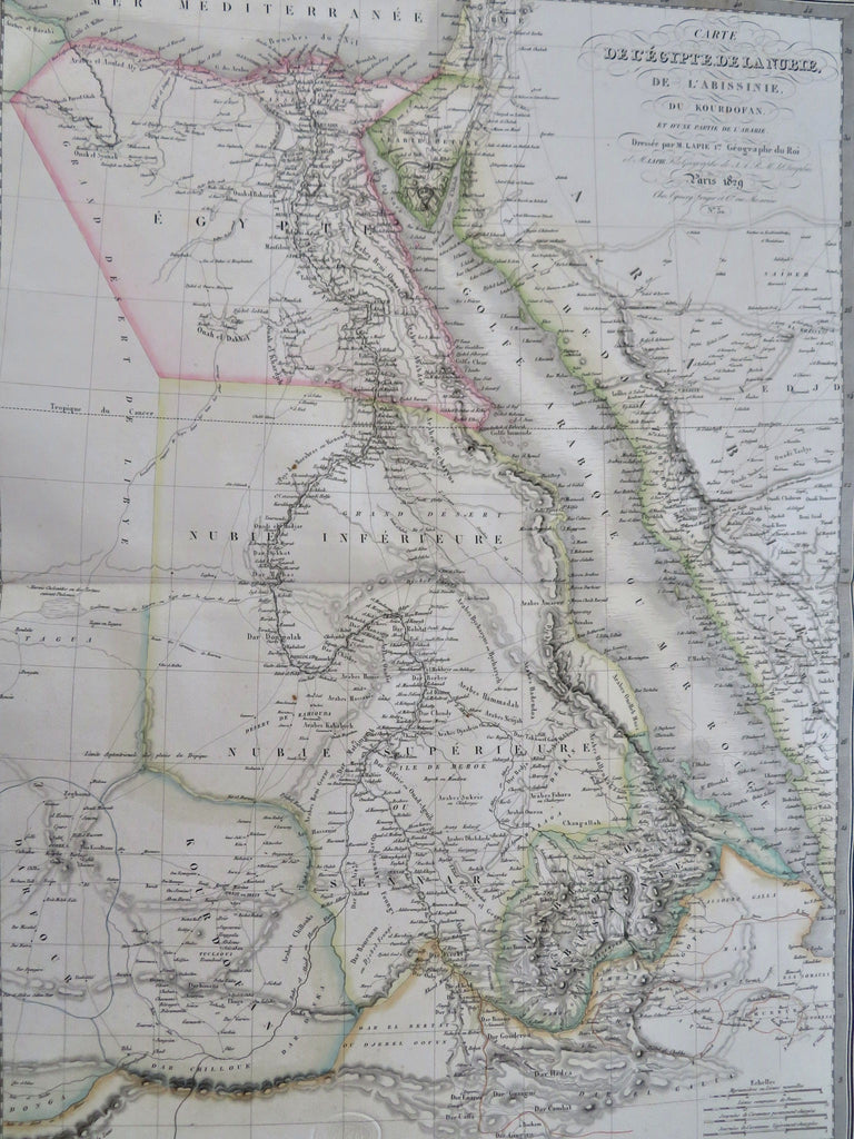
Africa Mts. of Moon Hejaz Arabia Mecca Medina 1829 Lapie large folio map
Brian DiMambro


Carte de L'Egypte, de la Nubie, de L'Abissinie, du Kourdofan, et d'une Partie de L'Arabie.
(Old Maps, 19th Century Maps, Africa, Egypt, Nubia, Abyssinia, Ethopia, Red Sea, Sinai Peninsula, Hejaz, Cairo, Mecca, Medina).
Issued 1829, Paris by Lapie.
Includes the coast of Arabia including Mecca & Medina. Across the bottom of the map is shown the apocryphal Mts. of the Moon range, seen here in a very bold and prominent manner. A great level of detail, including many caravan routes and tiny villages which may or may not be accurate.
Finely engraved and quite uncommon large oversize early 19th century map with original outline hand color. French text.
Nice looking example, pleasing age patina, blank margins with age spotting, faint minor spotting with map area, any minor age flaws easy to overlook or forgive. Nice looking map suitable for display.
Original center fold as issued.
Sheet measures c. 20" H x 25 1/2" W.
Engraved area measures c. 15 1/2" H x 21 1/4" W.
Cartographic Reference(s):.
Tooley's Dictionary of Mapmakers, vol. 2.
[R35839].
