Amsterdam Holland Netherlands City Plan Canal Fort Harbor c. 1780 engraved map
Brian DiMambro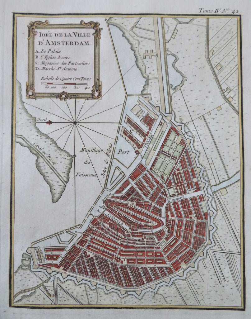
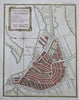
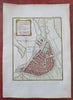
Idee de la Ville D'Amsterdam.
(Old Maps, 18th Century Maps, Europe, Low Countries, Netherlands, Holland, Amsterdam, City Plan, Canals, Harbor, Fort, ).
Issued c. 1780, Paris.
Late 18th century engraved city plan map with attractive hand color.
Remains a nice looking example with a pleasing age patina. Any age flaws mostly minor and easy to overlook or forgive.
Sheet Measures c. 13" H x 9 3/4" W.
Engraved Area Measures c. 8 1/2" H x 6 1/4" W.
[R35026].