Ancient World Map Europe North Africa Middle East India c. 1855 Dufour map
Brian DiMambro- Antiquarian Books, Maps & Prints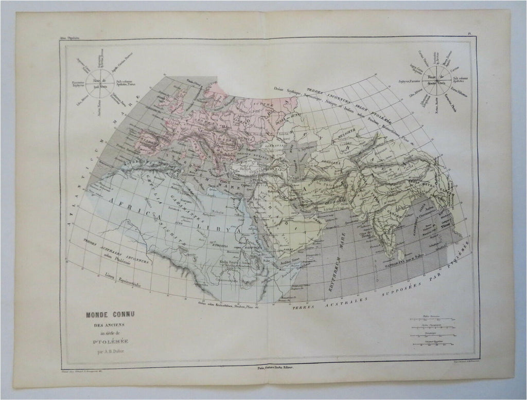
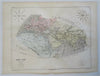
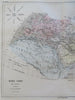
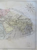
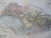
Monde Connu Des Anciens au Siecle de Ptolemee.
(Old Maps, 19th Century Maps, World Maps, Ancient World, Europe, North Africa, Asia, Middle East, India).
Issued c. 1855, Paris by Gustave Barba. May by A.H. Dufour. Engraved by Schieble.
Mid 19th century lithographed map with original hand color.
Original center fold as issued.
Sheet Measures c. 10 1/4" x 15 1/8".
Printed Area Measures c. 9 1/2" x 12".
Cartographic Reference(s):
Tooley's Dictionary of Mapmakers, vol. 1.
[R28052].