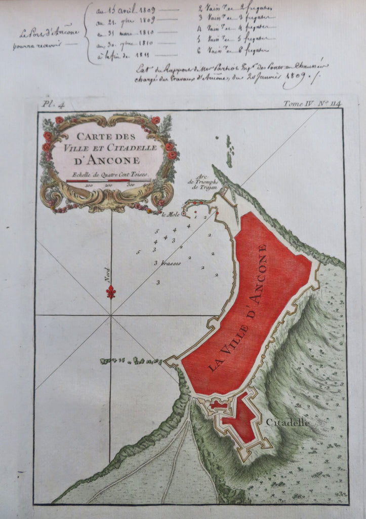
Ancona Italy City Plan Fortifications Star Fort Citadel Harbor 1760 map
Brian DiMambro


Carte des Ville et Citadelle D'Ancone.
(Old Maps, 18th Century Maps, Europe, Italy, Ancona, City Plans, Fortifications, Citadel).
Issued 1760, Paris.
Mid 18th century engraved map with attractive hand color. Across the top in the wide blank margin, an early owner has listed what appears to be naval battle dates related to the plan
Remains a nice looking example with a pleasing age patina. Any age flaws mostly minor and easy to overlook or forgive.
Sheet Measures c. 13" H x 9" W.
Engraved Area Measures c. 8 1/2" H x 6 1/2" W.
[R32225].
