Annis Squam Harbor Massachusetts Ipswich Bay 1837 Blunt coastal survey map
Brian DiMambro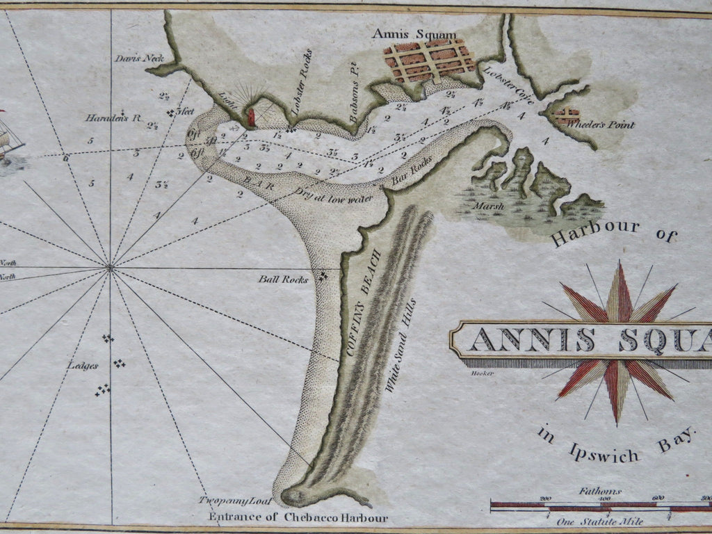
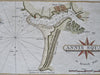


Harbour of Annis Squam in Ipswich Bay.
(Old Maps, 19th Century Maps, Americana, United States, New England, Massachusetts, Annis Squam, Ipswich Bay).
Issued 1837, New York by Edmund & George W. Blunt.
Early 19th century engraved coastal survey map with attractive hand color.
Remains a nice looking example with a pleasing age patina. Any age flaws mostly minor and easy to overlook or forgive.
Sheet Measures c. 5 1/4" H x 8 1/2" W.
Engraved Area Measures c. 4" H x 7" W.
Cartographic Reference(s):
Tooley's Dictionary of Mapmakers, vol. 1.
[B12260].