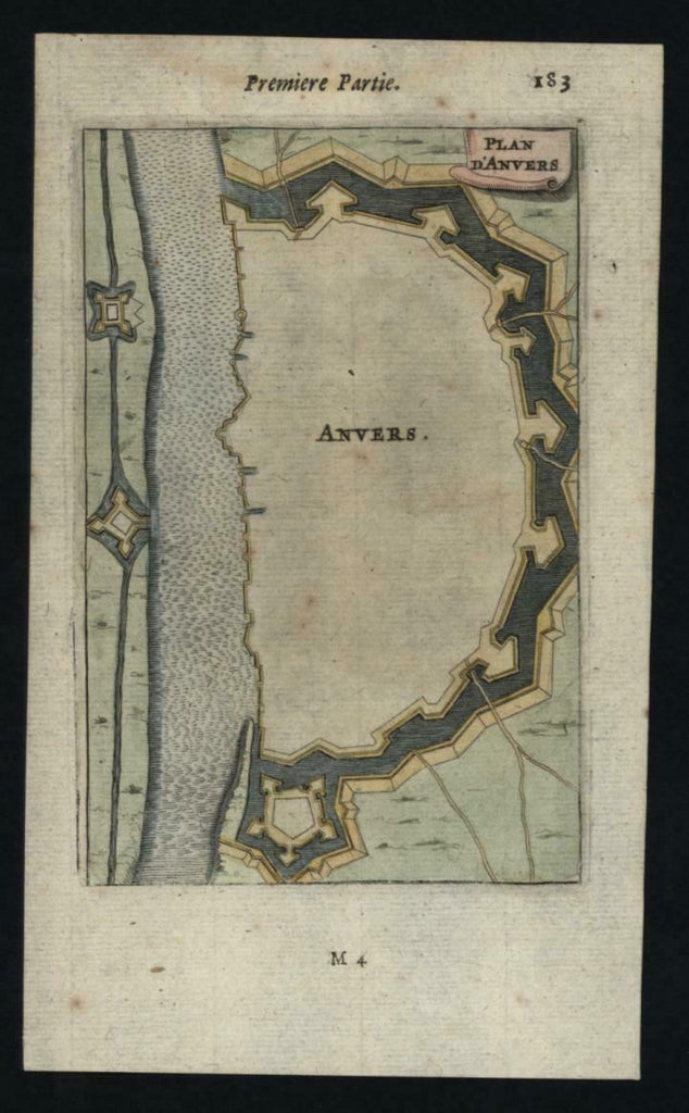
Antwerp Anvers 1672 Mallet city plan fortifications miniature map lovely example
Brian DiMambro- Antiquarian Books, Maps & Prints


Anvers.
(Europe, Netherlands, Antwerp, Anvers, City Plan, Military Fortification).
Issued 1672, Paris by Mallet.
Charming 17th century miniature engraved map, with lovely hand color.
Emphasizes the military defenses of the city, showing the ramparts and outline of the city walls.
Nice looking example, pleasing age patina, any minor age flaws easy to overlook or forgive.
Sheet Measures c. 7 1/4"H x 4 1/4"W.
Engraved Area Measures c. 5 1/4"H x 3 1/2"W.
Cartographic Reference(s):
Tooley's Dictionary of Mapmakers, vol. 3.
[R20125].
