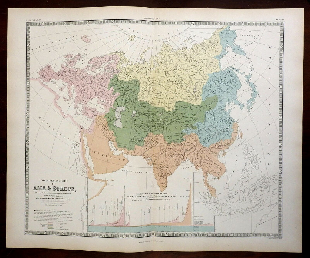
Asia & Europe Rivers of the World Danube Yangtze Volga Indus 1856 Info map
Brian DiMambro- Antiquarian Books, Maps & Prints


The River Systems of Asia & Europe, Showing the Boundaries and comparative extent of The River Basins & The Oceans to Which They Contribute Their Waters.
(Europe, Asia, Rivers of the World, Rhine, Danube, Ganges, Indus, Yangtze, Mekong, Don, Volga).
Issued 1856, Edinburgh by William Blackwood and Sons. Engraved by W & A.K. Johnston.
Detailed and lovely large mid 19th century color lithographed folio map with piano key border.
With two large engraved scenes of Reptiles in the Old and New worlds plus a detailed mountain height comparison diagram at top left.
Well preserved, nice looking example with pleasing age patina.
Original center fold as issued.
Sheet Measures c. 21 3/4" H x 27" W.
Engraved Area Measures c. 20" H x 24" W.
Cartographic Reference(s):
Tooley's Dictionary of Mapmakers, vol. 1.
[R24791].
