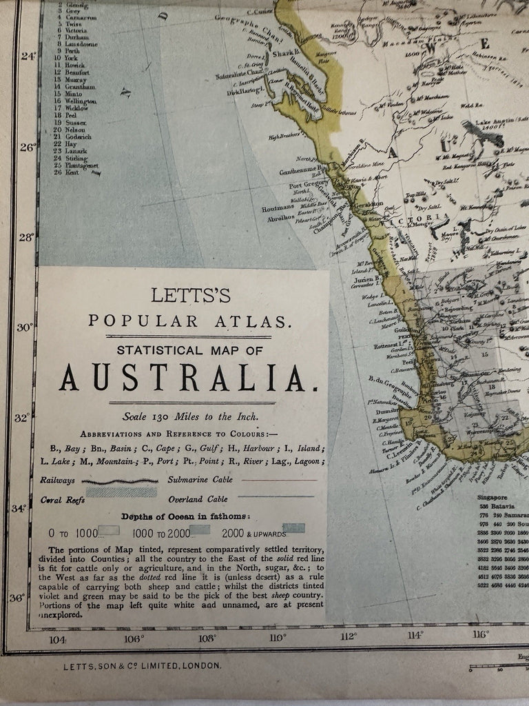
Australia 1881 Lett’s 2 sheet detailed color maps numerous tracks & expeditions
Australia 1881 Lett’s 2 sheet detailed color maps numerous tracks & expeditions Australia 1881 Lett’s 2 sheet detailed color maps numerous tracks & expeditions Australia 1881 Lett’s 2 sheet detailed color maps numerous tracks & expeditions Australia 1881 Lett’s 2 sheet detailed color maps numerous tracks & expeditions Australia 1881 Lett’s 2 sheet detailed color maps numerous tracks & expeditions Australia 1881 Lett’s 2 sheet detailed color maps numerous tracks & expeditions Australia 1881 Lett’s 2 sheet detailed color maps numerous tracks & expeditions Australia 1881 Lett’s 2 sheet detailed color maps numerous tracks & expeditions Australia 1881 Lett’s 2 sheet detailed color maps numerous tracks & expeditions Australia 1881 Lett’s 2 sheet detailed color maps numerous tracks & expeditions Australia 1881 Lett’s 2 sheet detailed color maps numerous tracks & expeditions Australia 1881 Lett’s 2 sheet detailed color maps numerous tracks & expeditions Australia 1881 Lett’s 2 sheet detailed color maps numerous tracks & expeditions Australia 1881 Lett’s 2 sheet detailed color maps numerous tracks & expeditions Australia 1881 Lett’s 2 sheet detailed color maps numerous tracks & expeditions Australia 1881 Lett’s 2 sheet detailed color maps numerous tracks & expeditions
$ 175.00

Statistical Map of Australia.

Issued 1880-81, London by Letts.

Color lithographed. Of note for identifying numerous early expeditions within the interior and across the continent as well as coral reefs, seasonal ocean currents and submarine cables used for communication with the world. Great detailed map.

Overall clean nice example, just light signs of time or age. Orig. centerfold.

Map centerfold not as browned as it looks in the digital pic. Short splits at centerfold ends on one side of each map.

This pair still joined on reverse along the backs of their spines as issued within the atlas (organic glue would likely dissolve with water to separate maps if so desired).

Map still displays very well and could readily be framed for display.

Large folio sheet. Likely scarce 2 sheet 19th century map.

Each open sheet size c.17" x 14".

R36163