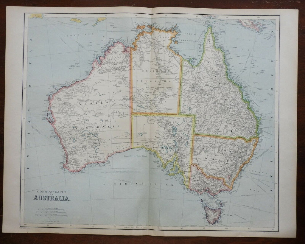
Australia continent w/ early Explorer routes 1914 rare fine large Philip map
Brian DiMambro- Antiquarian Books, Maps & Prints


Commonwealth of Australia.
(Oceania, Australia, New South Wales, Queensland, Victoria, West Australia, Tasmania).
Issued 1914, London by George Philip & Son.
Scarce large scale early 20th century color lithograph map from an uncommon monumental folio atlas.
Wonderful oversized map with a profusion of fine details. Beautifully printed, much nicer and larger than typical for maps of this era, not to be confused with the endless smaller maps encountered far more often. Includes numerous specific routes of explorers with names and dates across the interior.
Well preserved, nice looking example with a pleasing mellow age patina which is much nicer than the look of a newly printed map.
Original center fold as issued.
Sheet Measures c. 21" H x 27 1/2" W.
Engraved Area Measures c. 18" H x 23" W.
Cartographic Reference(s):
Tooley's Dictionary of Mapmakers, vol. 2.
[R25884].
