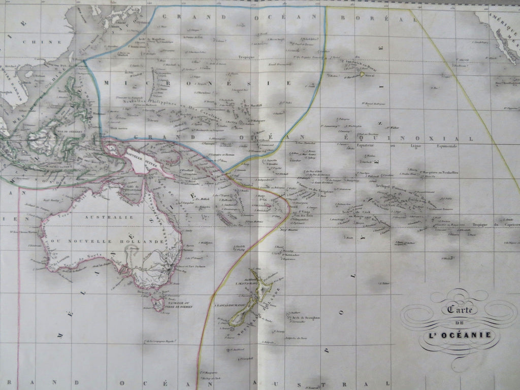
Australia Hooked Lake Torens New Zealand Oceania c. 1845 Bellier detailed map
Brian DiMambro


Carte de l'Oceanie.
(Old Maps, 19th Century Maps, Oceania, Australia, Lake Torrens, New Zealand).
Issued c.1845. Paris by Bellier. Drawn by A. R. Fremin. Engraved by S. Jacobs.
Interesting mid-19th century engraved map, with lovely original outline hand color.
Of note for the depiction of Lake Torrens as a giant hook, erroneous and appearing only briefly on relatively few maps of the era.
Nice looking example, pleasing age patina, any minor age flaws easy to overlook or forgive.
Original centerfold as issued.
Sheet Measures c. 15 1/8" H x 23 1/2" W.
Engraved Area Measures c. 11 3/4" H x 16 7/8" W.
Cartographic Reference(s):
Tooley's Dictionary of Mapmakers, vol. 2.
[R35676].
