Australia New Zealand Oceania Stieler map 1862 Stulpnagel variant details
Brian DiMambro- Antiquarian Books, Maps & Prints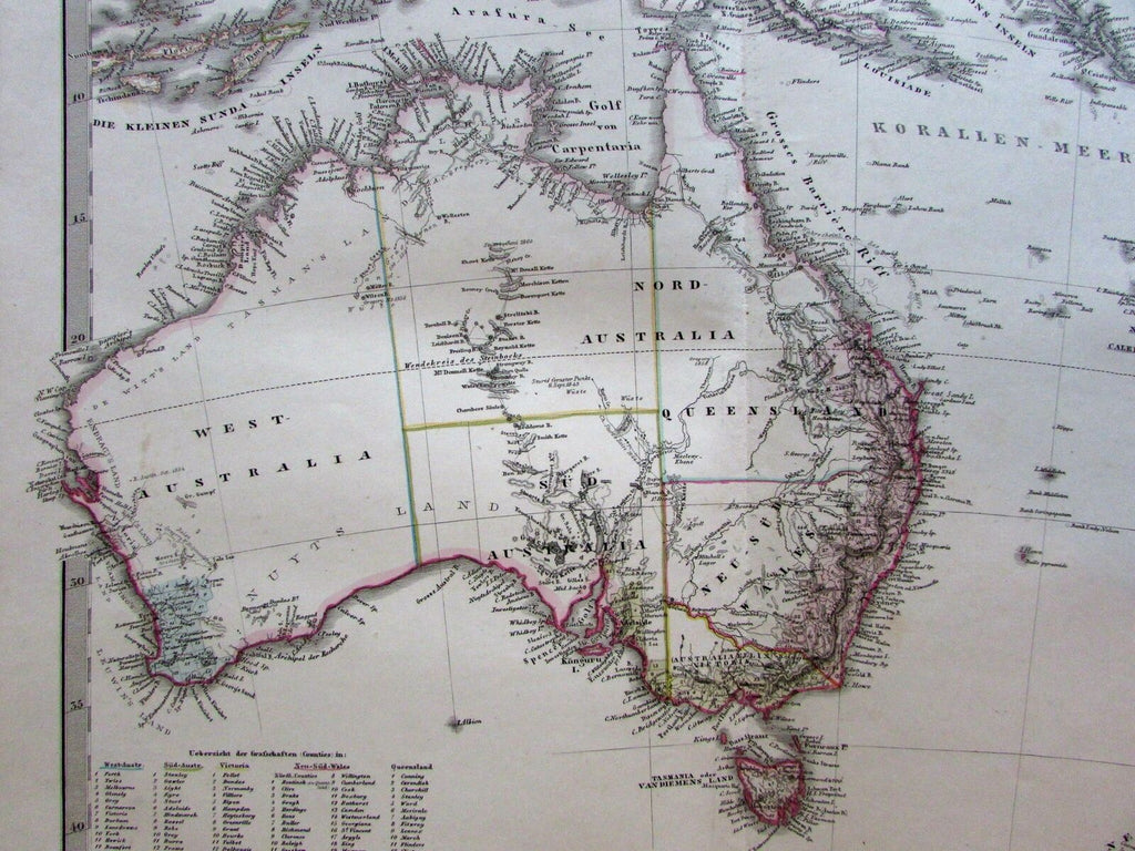

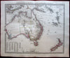
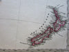
Festland von Australien und benachbarte Inseln.
(Australia / New Zealand / Oceania).
Issued 1862, Gotha, Germany by Justus Perthes for Stieler. Cartography by Stulpnagel.
Uncommon mid-19th century German map with original outline hand color. There are numerous variant versions of this map issued around this date by this maker, especially for the interior of this continent.
Map shows scattered light age spotting but still displays a nice visual appeal.
Centerfold as issued.
Sheet Measures c. 14 1/2"H x 18"W.
Engraved Area Measures c. 12 5/8"H x 15 3/4"W.
Cartographic Reference(s):
Tooley's Dictionary of Mapmakers, vol. 4, pp. 216.
Espenhorst, Bibliographie der Handatlanten, 4, H 4.1.
[R19747].