Australia & New Zealand Tasmania New South Wales Sydney 1881 Rand McNally map
Brian DiMambro- Antiquarian Books, Maps & Prints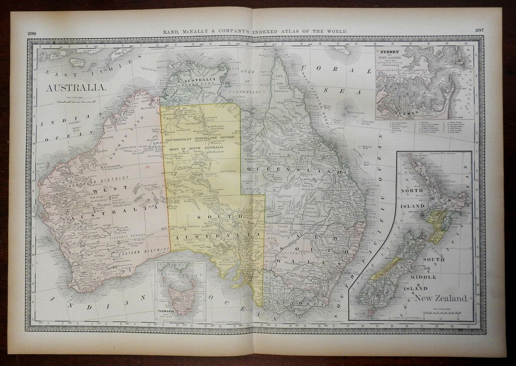

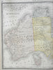
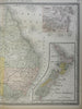
Australia - New Zealand.
(Oceania, Australia, New Zealand, Tasmania, West Australia, Queensland, New South Wales, Victoria, Sydney).
Issued 1881, Chicago by Rand, McNally & Company.
Late 19th century antique color lithographed map.
Well preserved, nice looking example with pleasing age patina.
Original center fold as issued.
Sheet Measures c. 15" H x 21 1/4" W.
Engraved Area Measures c. 13" H x 18 1/4" W.
Cartographic Reference(s):
Tooley's Dictionary of Mapmakers, vol. 4.
[R24435].