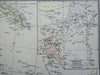
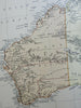
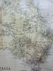
Australia New Zealand Torres Strait New South Wales Oceania 1882 Blackie map
Brian DiMambro- Antiquarian Books, Maps & Prints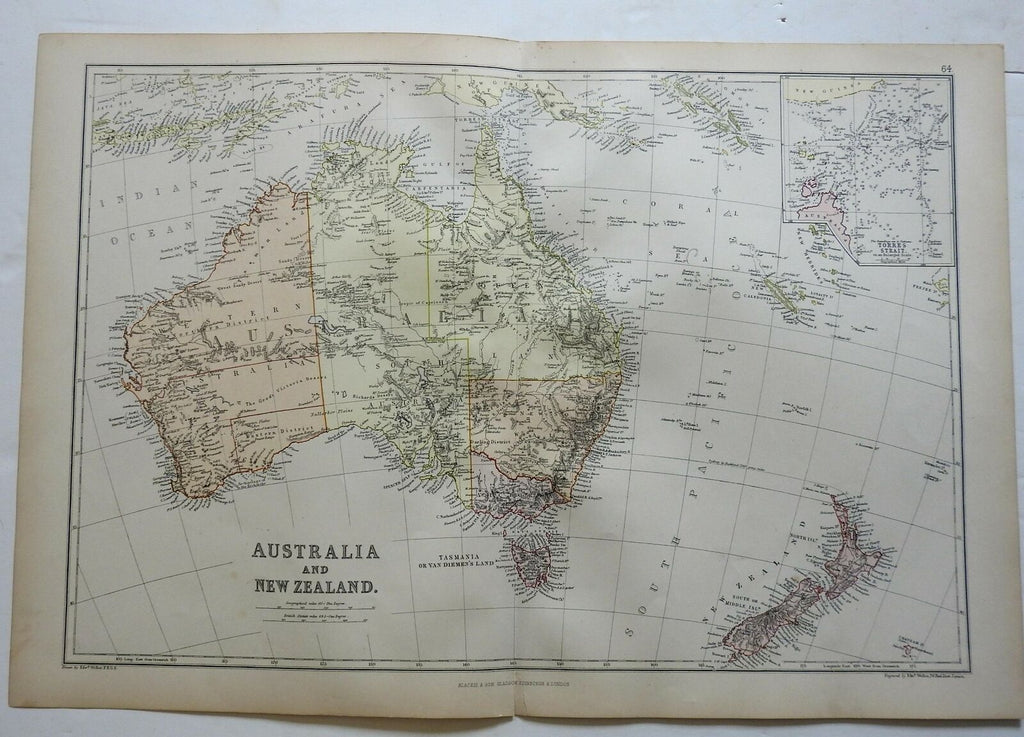

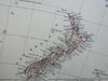
Australia and New Zealand.
(Oceania, Australia, New Zealand, North Island, South Island, Western Australia, Queensland, New South Wales, Victoria, Torres Strait, Tasmania).
Issued 1882, Edinburgh by Blackie & Son.
Detailed late 19th century color lithographed map. Insets displays the Torres Strait.
Well preserved, nice looking example with pleasing age patina.
Original center fold as issued.
Sheet Measures c. 15" H x 22" W.
Engraved Area Measures c. 13 1/2" H x 19 3/4" W.
Cartographic Reference(s):
Tooley's Dictionary of Mapmakers, vol. 1.
[R23162].