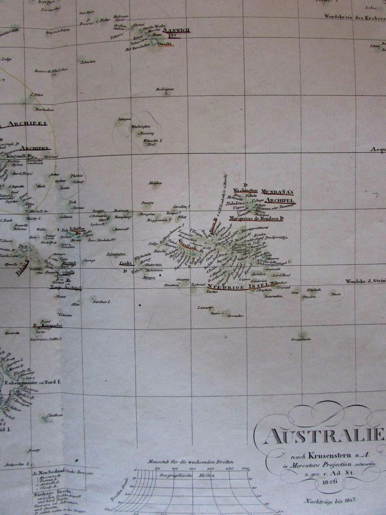
Australia prominent hooked Lake Torrens Oceania 1847 Stulpnagel Stieler map
Brian DiMambro- Antiquarian Books, Maps & Prints


Australien nach Krusenstern...1826.
(Oceania / Australia / New Zealand/ Pacific/ New Holland).
Issued [revised to] 1847, Gotha, Germany by Perthes for Stieler. Engraved by Thiel.
Uncommon mid-19th century German map with original outline hand color.
There are several states of this map noted by Tooley, and the first state (as pictured in his bibliography) doesn't display this prominent speculative (and apocryphal) hooked Lake Torrens.
Stieler maps were continuously revised and those issued in the mid-1840s like this one are entirely unique from those that follow shortly after.
Map shows scattered light age spotting, tiny pinhole below title (looks like a small dot), early (easily erasable if desired) pencil outline shapes drawn within central Australia, but overall still displays a nice visual appeal.
Centerfold as issued.
Sheet Measures c. 14"H x 16 3/4"W.
Engraved Area Measures c. 11 3/4"H x 15 1/8"W.
Cartographic Reference(s):
Tooley, Mapping of Australia, 1201-03.
Tooley's Dictionary of Mapmakers, vol. 4, pp. 216.
[R19433].
