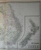
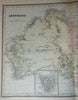
Australia Tasmania New Zealand explorer routes Torrens 1889 Bradley large map
Brian DiMambro- Antiquarian Books, Maps & Prints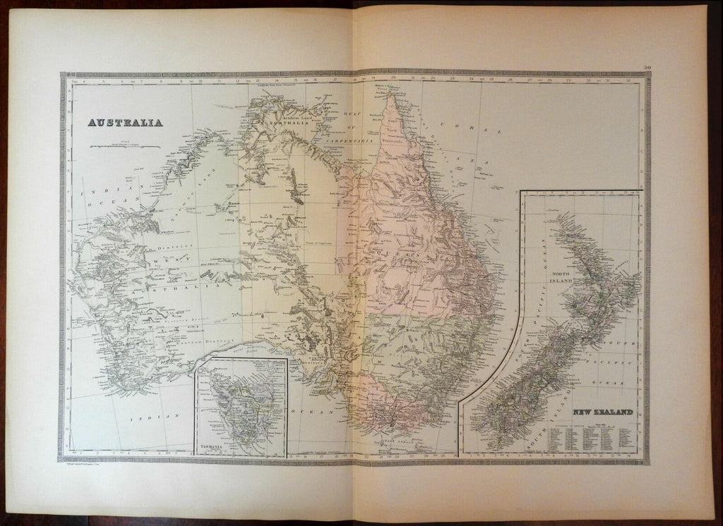
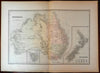
Australia- w/ New Zealand & Tasmania insets.
Issued 1889, Philadelphia by William Bradley & Bros.
Oversized and uncommon late-19th century antique map. Engraved and lithographed with original hand color.
With large detailed inset maps of Tasmania (bottom left) and New Zealand (bottom right). A profusion of interior details, including early overland routes of explorers, 63 counties list lower right in five columns, Tasmania inset bottom left center showing rail lines with stops, etc.
Minor light surface age wear and toning as typical, but overall a superior visual example. Trivial old light damp staining along the edges of the wide blank margins, scarcely worthy of mention.
Original fold line as issued.
Sheet measures c. 26" x 19".
Engraved area measures c. 21 1/2" x 14 1/2".
Ristow, American Maps and Mapmakers , Commercial Cartography in the 19th century , p. 313. (curiously noting the latest Bradley publication as 1887).
Tooley's Dictionary of Mapmakers , vol. I, pg. 182.
[R21114].