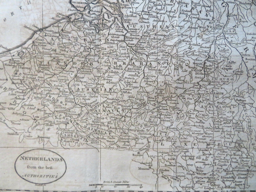
Belgium & Luxembourg Flanders Brabant Brussels Bruges Antwer 1796 Doolittle map
Brian DiMambro


Netherlands the Best Authorities.
(Old Maps, 18th Century Maps, Europe, Low Countries, Netherlands, Belgium, Flanders, Brabant, Brussels, Bruges, Antwerp, Luxembourg).
Issued 1796, Boston by Thomas & Andrews. Engraved by Doolittle.
Late 18th century engraved map.
Nice looking example, sheet uniformly age toned, light offsetting on one panel, pleasing age patina, any minor age flaws easy to overlook or forgive.
Original fold lines as issued.
Sheet measures c. 8 1/4" H x 9 1/2" W.
Engraved area measures c. 7 1/4" H x 8 1/4" W.
Cartographic Reference(s):
Wheat & Brun, Maps Published in America Before 1800, 793.
O'Brien, Amos Doolittle, Engraver of the New Republic, pp. 21-30.
Tooley's Dictionary of Mapmakers, vol. 1.
[R31540].
