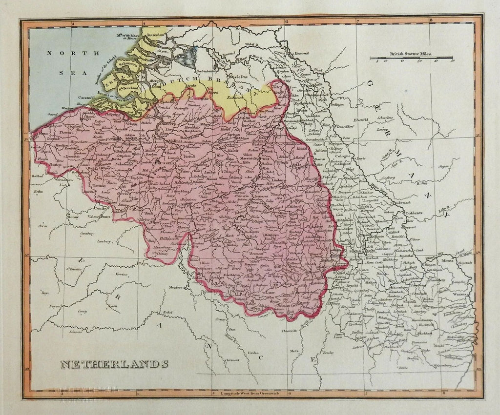
Belgium Netherland Low Countries Antwerp Brussels Bruges 1823 scarce Ellis map
Brian DiMambro- Antiquarian Books, Maps & Prints


Netherlands.
(Europe, Low Countries, Netherlands, Belgium, Brussels, Bruges, Namur, Antwerp, Limburg).
Issued c. 1823, London by Ellis.
Scarce early 19th century engraved map with beautiful original hand color. With a subtle and easy to miss institutional blind stamp in the lower left distance graticule lines which surround the map. Does not visually affect the map in any way.
Well preserved, nice looking example with pleasing age patina.
Sheet Measures c. 16" x 11 5/8".
Engraved Area Measures c. 11" x 9".
Cartographic Reference(s):
Tooley's Dictionary of Mapmakers, vol. 2.
[R26356].
