Belgium Netherlands Luxemburg Flanders ca. 1730 Lotter decorative antique map
Brian DiMambro- Antiquarian Books, Maps & Prints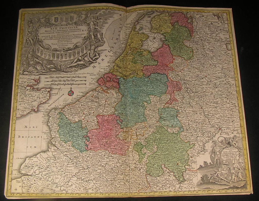

XVII Procinciae Belgii sive Germaniae Inferioris Priscis Temporib, Circulo Burgundico S.R.I.
(Low Countries- Holland- Netherlands- 17 Provinces, Belgium, Luxemburg)
Issued ca. 1730, Augsburg Germany by T. Lotter
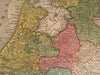
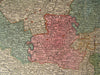
Decorative old folio sheet map of Luxemburg, Netherlands, and Belgium. With original hand color. Large vignette vignette at top left, allegorical vignette at bottom right.
A picture is worth a thousand words. The photos are a major part of the item description. Please examine them closely, as what you see is what we will send you.
[note: we grade conservatively and always seek to disclose any noteworthy flaws.].
Map remains decorative but has some age problems as follows: the map has an extensive long split at the centerfold which has been closed long ago with old paper on the reverse. This is very slightly visible in person, but is not offensive visually nor distracting. A short tear to left of centerfold at top has similarly been repaired and closed and appears now as a wrinkle. Some light age wear or surface spotting/ soiling which is visible within the scan, someone long ago drew thin mustaches on all the figures within the cartouche- creating a curiously appealing if not humorous effect. Priced to account for these age faults.
Paper and image remains overall clean & sound. Old maps & prints often display small minor repairs on the back, could have uneven blank margins, might have extraneous fold-lines or other small minor age flaws which do not detract from the visual appeal or value. Condition is carefully considered in arriving at our price.
Great antique map entirely worthy of hanging for display.
A depiction captured in a manner entirely unique to this era.
Sheet measures c. 19 3/4" H x 23 1/4" W.
Printed area measures c. 19 3/8" H x 22 5/8" W
Original fold line as issued.
Tooleys Dictionary of Mapmakers , v. 3, p. 159
[R1619]