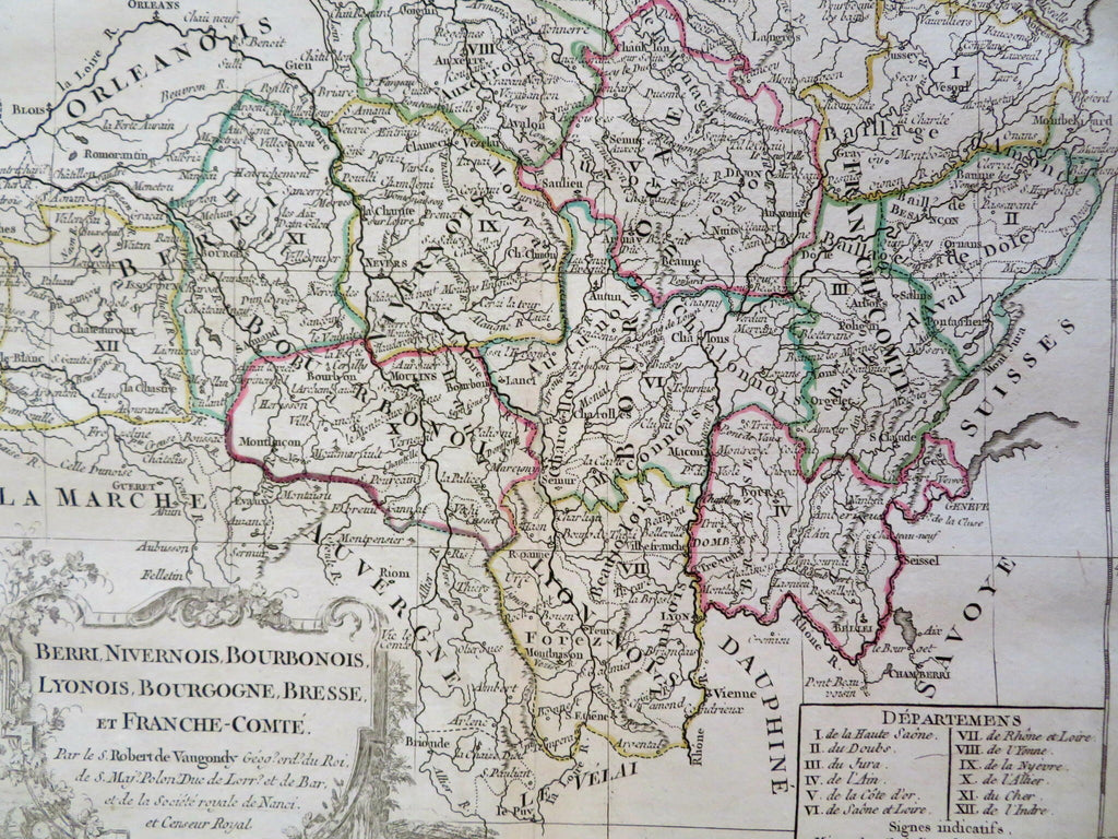
Berry Nevers Burgundy Lyon Bournon Franche-Comte France c. 1750 Vaugondy map
Brian DiMambro


Berri, Nivernois, Bourbonois, Lynonois, Bourgogne, Bresse, Et Franche-Comete.
(Old Maps, 18th Century Maps, Europe, France, Berry, Nevers, Bourbon, Lyon, Burgundy, Franche-Comte).
Issued c. 1750, Paris by Vaugondy. Engraved by Dussy.
Mid 18th century engraved map with original outline hand color. Decorative cartouche enhances visual appeal.
Well preserved, nice looking example with pleasing age patina. A short 1" split at base of centerfold touching inside the neat line.
Original center fold as issued.
Sheet Measures c. 11 1/2" H x 16 3/4" W.
Engraved Area Measures c. 9 1/2" H x 12" W.
Cartographic Reference(s):
Tooley's Dictionary of Mapmakers, vol. 4.
[R31185].
