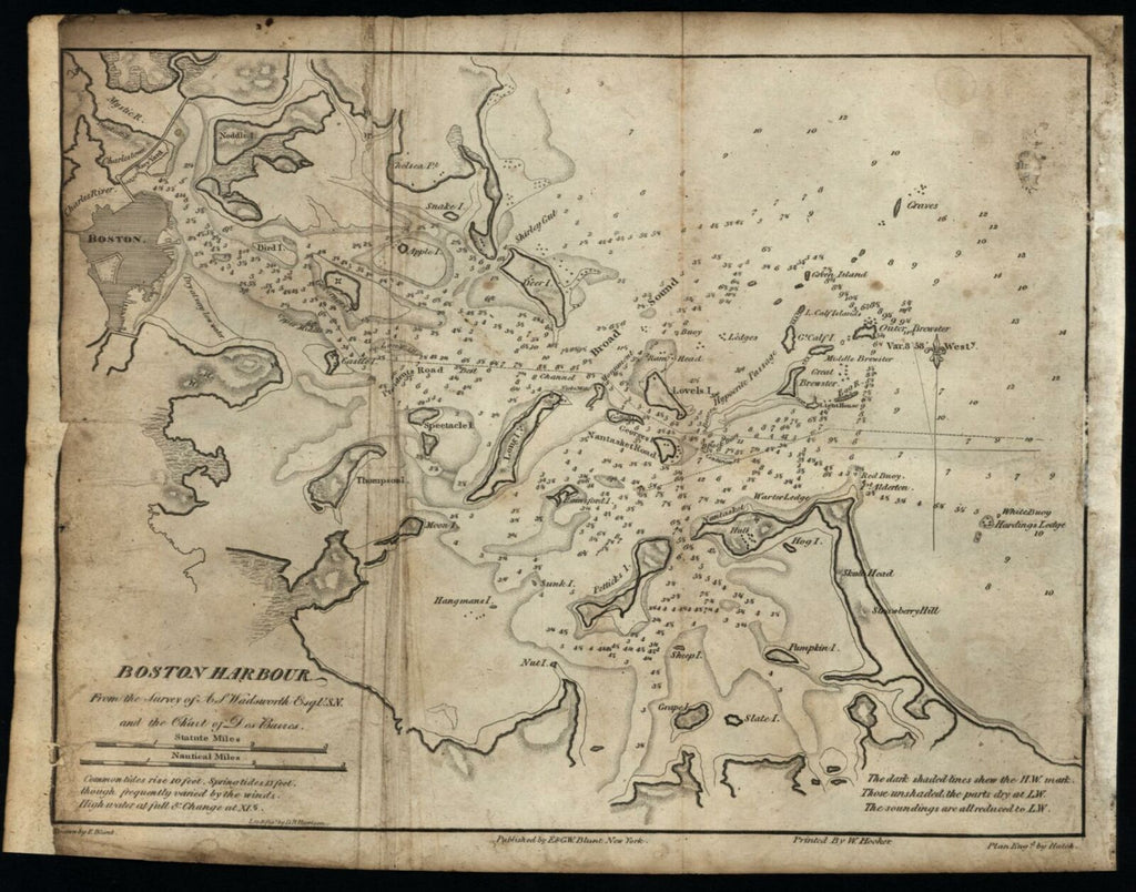
Boston Harbor c.1835-50 Blunt Hooker Hatch coastal chart map
Brian DiMambro- Antiquarian Books, Maps & Prints


Boston Harbour From the Survey of A. S. Wadsworth Esq. U.S.N. and the Chart of Des Barres.
(United States / New England / Massachusetts).
Issued New York, c.1835-50 by E & G.W. Blunt. Drawn by E. Blunt. Printed by W. Hooker. Engraved by Hatch. Lettering by D. R. Harrison.
Mid-19th century engraved harbor map.
Map has age and condition issues but still displays well. Left side blank margin trimmed to neat line and now extended with old paper. Right side margin with slight paper adhesions. Extraneous old fold lines down left, overall light soiling, spotting and toning.
Sheet measures c. 8 5/8"H x 10 3/4"W.
Engraved area measures c. 7 3/4"H x 10 1/8"W.
Cartographic Reference(s):
Campbell, Bibliography American Coast Pilot, pp. 110-112.
Tooley's Dictionary of Mapmakers, vol.1.
[R19805x].
