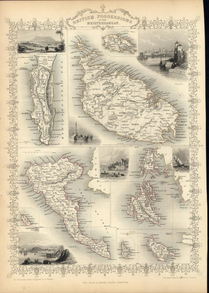
British Colonies Mediterranean Malta 1851 antique decorative Tallis map
Brian DiMambro- Antiquarian Books, Maps & Prints
British Possessions in the Mediterranean inc. Malta, Gibraltar, Corfu & Zante
Issued 1851, London & New York by John Tallis & Company
Drawn & Engraved by J. Rapkin
Lovely antique engraved map with original outline hand color.
With numerous decorative vignette views surrounding the map. Tallis maps are widely considered to be among the most decorative maps of the 19th century.
Printed on quality heavy paper which retains its inherent structural flexibility and soundness.
The map is surrounded by beautifully engraved vignettes depicting traditional native scenes and key landmarks.
In near VG or better condition, minor light surface age wear and toning as typical, some faint minor foxing in the blank margins, overall the image is clean, well preserved and very attractive [note: we grade very conservatively and always seek to disclose any noteworthy flaws].
Without the central fold-line so often found on many of these maps.
The printed area remains visually pleasing, a nice impression of an decorative and desirable antique map.
Any minor defects along the sheet edges and in the margins may be seen in the photos.
Sheet measures c. 10 5/8" W x 14 3/4" H.
Engraved area measures c. 9 3/4" W x 13 5/8" H.
[61144]
