British Columbia Western Canada Vancouver Island 1895 Johnston map
Brian DiMambro- Antiquarian Books, Maps & Prints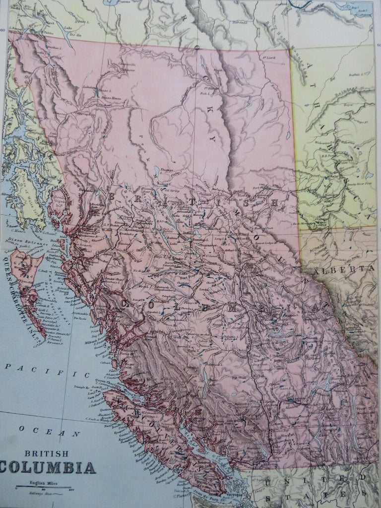
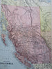

British Columbia.
(Old Maps, 19th Century Maps, Canada, Western Canada, British Columbia, Vancouver).
Issued 1895, Edinburgh by W. & A.K. Johnston.
Late 19th century color lithographed map.
A very uncommon/ scarce map.
Well preserved, nice looking example with pleasing age patina.
Original center fold as issued.
Sheet Measures c. 16 1/4" H x 11 3/4" W.
Printed Area Measures c. 12 1/2" H x 9 1/2" W.
Cartographic Reference(s):
Tooley's Dictionary of Mapmakers, vol. 2.
[R29946].