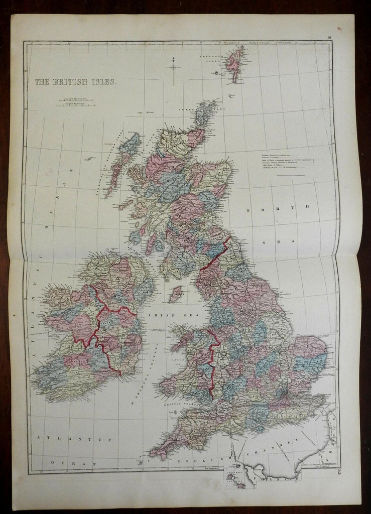
British Isles Ireland United Kingdom England Scotland Wales 1875 Hardesty map
Brian DiMambro- Antiquarian Books, Maps & Prints


The British Isles.
(Europe, British Isles, Ireland, United Kingdom, England, Wales, Scotland, London, Dublin, Cardiff, Edinburgh, Manchester).
Issued 1875, Chicago by H.H. Hardesty.
Uncommon 19th century lithographed folio sheet map with original hand color.
Original center fold as issued.
Sheet Measures c. 19 5/8" x 29".
Printed Area Measures c. 17 1/8" x 25".
Cartographic Reference(s):
Tooley's Dictionary of Mapmakers, vol. 2.
[R24245].
