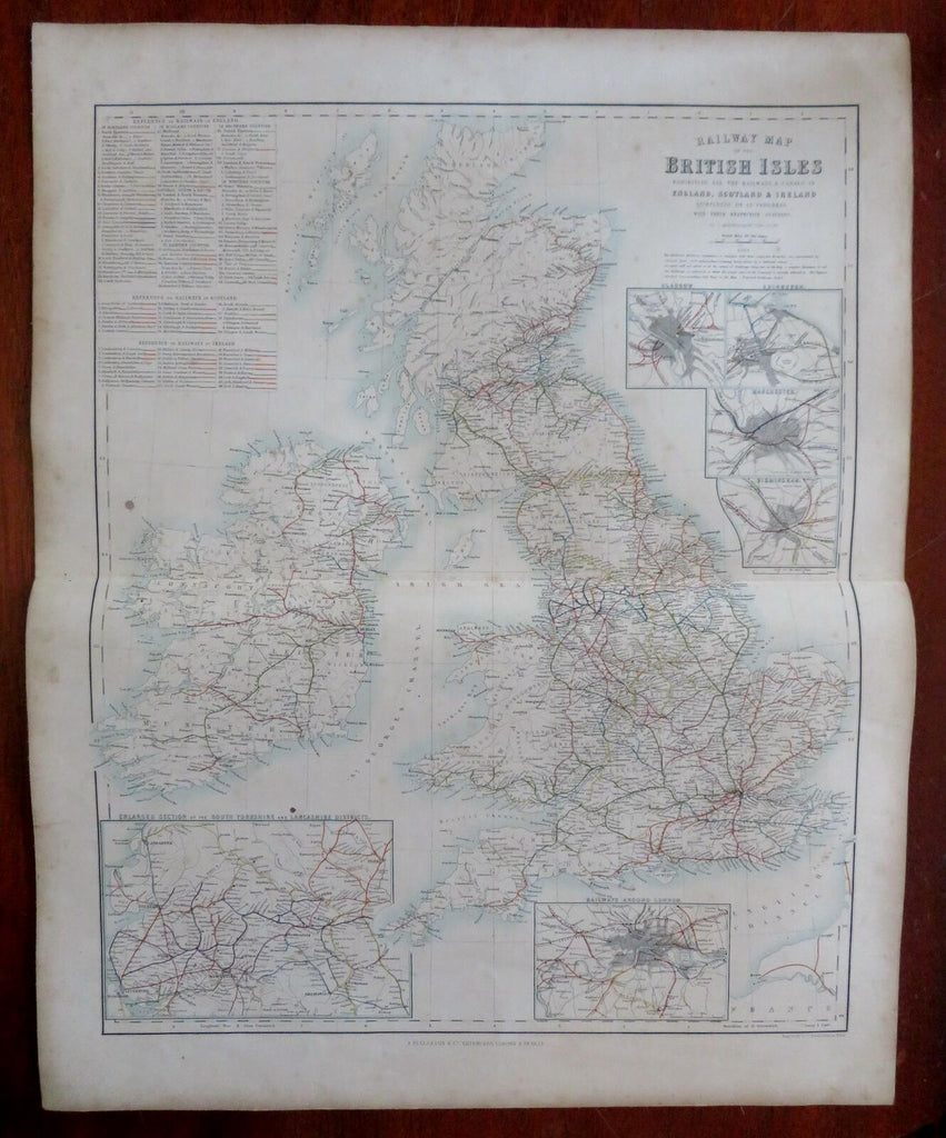
British Isles Railways Ireland England Scotland Wales c. 1855-60 Fullarton map
Brian DiMambro- Antiquarian Books, Maps & Prints


Railway Map of the British Isles.
(Old Maps, 19th Century Maps, Europe, British Isles, Ireland, United Kingdom, England, Scotland, Wales, Transportation, Railroads, Edinburgh, Glasgow, Manchester, Birmingham, London, Yorkshire).
Issued c. 1855-60, Edinburg by A. Fullarton & Co. Engraved by Bartholomew.
Mid 19th century color lithographed map. Sheet was backed by linen at a very early date, likely by the publisher.
Series of six detailed insets include railways around London, Glasgow, Edinburgh, Manchester and Birmingham.
Original center fold as issued. Light dustiness and soiling, a couple small stain spots, map presents well visually.
Sheet Measures c. 18 3/4" H x 23" W.
Printed Area Measures c. 18" H x 21" W.
Cartographic Reference(s):
Tooley's Dictionary of Mapmakers, vol.2.
[R29897].
