California with San Francisco city plan 1887 Bradley-Mitchell large map
Brian DiMambro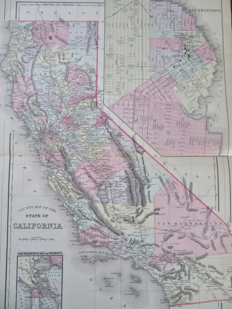
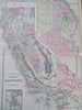
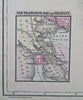
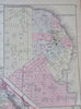
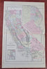
County Map of the State of California.
(Old Maps, 19th Century Maps, Americana, United States, California, San Francisco, Oakland, Los Angeles, San Diego, Sacramento).
Issued 1887, Philadelphia by Bradley, successor to S.A. Mitchell.
Fine oversize late 19th century lithographed map, with original hand color.
This late Mitchell map was issued by Bradley for a short period before disappearing from publication.
Attractive example, clean, pleasing age patina, any minor age flaws easy to overlook or forgive.
Centerfold as issued.
Sheet Measures c. 15 1/2" H x 24" W.
Engraved Area Measures c. 14 1/2" H x 21 1/2" W.
Cartographic Reference(s):
Reps, American Maps and Mapmakers, p. 313.
Tooley's Dictionary of Mapmakers, vol. 1 & vol. 4, pp. 260.
[R32272].