California w/ San Francisco plan 1874 Mitchell decorative hand colored nice map
Brian DiMambro- Antiquarian Books, Maps & Prints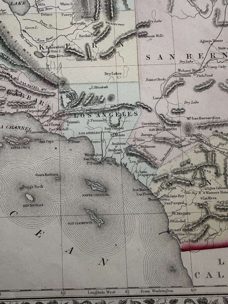
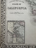


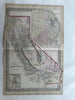
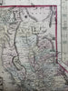
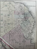
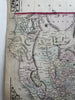
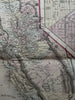

County map of the state of California. with insets of San Francisco city and vicinity.
Issued 1874 Philadelphia by S.A. Mitchell.
Wonderful large mid-19th century lithographed map, with original hand color.
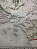
This particular version (of several) shows a city plan of San Francisco at top right, a vicinity inset bottom left. Decorative grape cluster border (one of several versions). There are numerous variant issues of this famous map, each reflecting the ongoing evolution of the counties due to growth.
Some wrinkling and extraneous creasing along centerfold with short splitting at ends of fold, short closed splits in side blank margin (outside neat lines), overall clean, displays well.
Attractive example, pleasing age patina, any minor age flaws easy to overlook or forgive.
Sheet Measures c. 15” x 23”.
Engraved Area Measures c. 14 1/2" x 21".
Cartographic Reference(s):
Reps, American Maps and Mapmakers, p. 313.
Tooley's Dictionary of Mapmakers, vol. 1 & vol. 4, pp. 260.
R36520